What is recorded here
Located on a slope down to the E bank of a NNW-SSE section of the Barora River that is also known as the Owenroe and as the Moynalty River, and located c. 12m from the stream. Archaeological monitoring (07E0942) of a water scheme at Moynalty village identified a corn-drying kiln at the proposed location for a pumping station, and it was completely excavated under the same licence. The kiln was of the key-hole type (L 4m plus; max. Wth 1.6m; D 0.7m) and stone-lined. The bowl contained charred material including cereals. (Clutterbuck 2009, 4-6; 2012)
Compiled by: Michael Moore
Date of upload: 3 April, 2019
The monument record does not grant public access. Check the route and ask the landowner before entering private land.
- What survives
- Recorded monument
Places near here
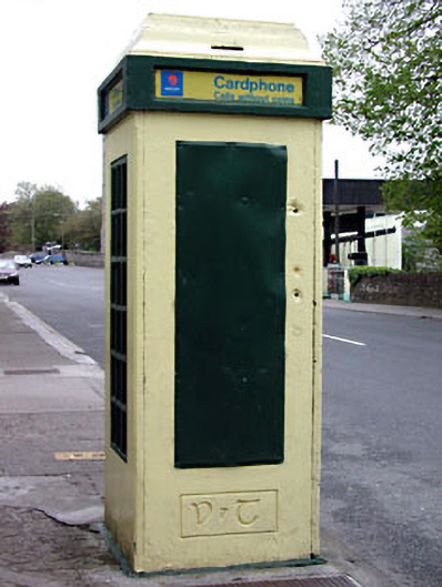 telephone boxtelephone box · 40 yd
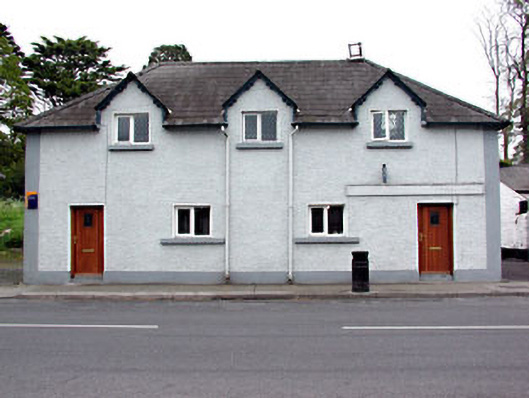 schoolschool · 53 yd
 Moynalty Steam Threshing MuseumMuseum · 238 yd
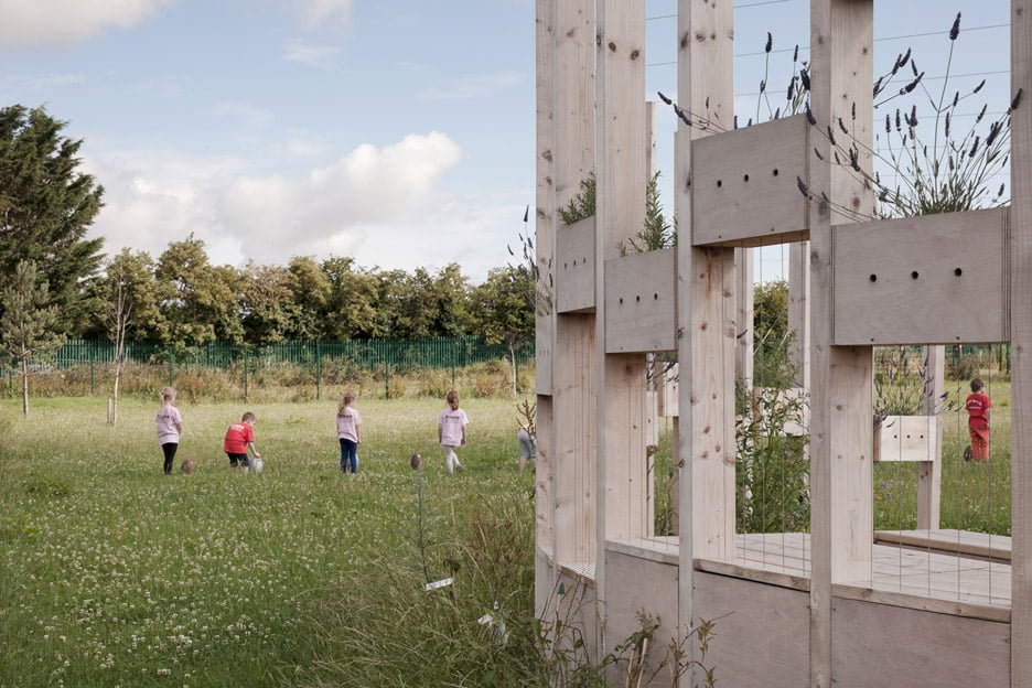 Moynalty Hedge SchoolArchaeological place · 330 yd
 Middle WoodWood · 518 yd
 Saltford FortWood · 536 yd
 Reillystown FortArchaeological place · 875 yd
 Castle (in Ruins)Castle, unclassified · 1606 yd
 CastleCastle, motte · 2.0 mi
 MaperathMountain / peak · 2.4 mi
 UghtyneillMountain / peak · 2.4 mi
 John Mac MahonMemorial · 2.9 mi