What is recorded here
In the E half of an inland promontory fort (SL020-166001-). Discovered in 1994 during the excavation of the promontory fort and described as a stone structure (L 2.8m NW-SE), consisting of a series of upright stones surrounding an area of burnt soil and charcoal (Mount 1995d, 78-9). The kiln was aligned with the flue opening to the NW and the oval furnace (0.9m x 1.3m) to the SE; it contained a charcoal-rich layer with fragments of burnt bone, sand and seeds that extended to the SE over an area 7.5m N-S by c. 4m E-W (ibid.). (Mount 2002, 112-13)
The above description is derived from the published 'Archaeological Inventory of County Sligo' compiled by Ursula Egan, Elizabeth Byrne, Mary Sleeman with Sheila Ronan and Connie Murphy (Dublin Stationery Office, 2005).
Date of upload: 18 January 2008
This monument is subject to a preservation order made under the National Monuments Acts 1930 to 2014 (PO no. 1/1995).
The monument record does not grant public access. Check the route and ask the landowner before entering private land.
- What survives
- Recorded monument
Places near here
 IndicatedPromontory fort, inland · 15 yd
 The Thatchhouse · 324 yd
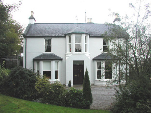 Arrow Lodgerectory/glebe/vicarage/curate's house · 571 yd
 Enclosure in BelladrihidEnclosure · 1234 yd
 CastleCastle, unclassified · 1483 yd
 Union RockForest · 1.0 mi
 Battle of Collooneybattle · 1.1 mi
 Teeling MonumentMemorial · 1.1 mi
 BunreecoillMountain / peak · 1.3 mi
 SlievewardMountain / peak · 1.5 mi
 European ashEuropean ash · 2.2 mi
 Castle (Site of)Castle, unclassified · 3.0 mi