What is recorded here
On a gentle S-facing slope overlooking the King River valley. Excavated in 2007 in advance of the N9/N10 Kilcullen to Waterford road improvement scheme (Licence no. E3576). A total of 9 cereal-drying kiln, six of which were keyhole shaped. Two of the kilns displayed evidence for multiple uses. Kiln 1 had three phases of activity and was associated with a circular post-hole. Kiln 2 also had an associated post-hole and contained a possible hone stone and a worked flint flake. Three of the kilns were radiocarbon dated and all produced early medieval dates ranging from AD615 to 806 (UBA 12182-4). (Kyle 2010, 250, no. 949; Kyle and Coughlan 2011)
Compiled by: Mary Tunney
Date of upload: 11 December 2013
The monument record does not grant public access. Check the route and ask the landowner before entering private land.
- What survives
- Recorded monument
Places near here
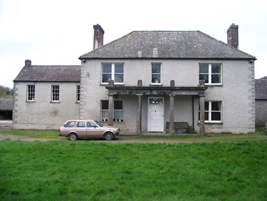 Kellsborough Househouse · 902 yd
 Enclosure in LawcusEnclosure · 987 yd
 Enclosure in Rathduff LowerEnclosure · 1044 yd
 Coortaur Castle (in ruins)Castle, unclassified · 1196 yd
 Prior's TowerCastle · 1422 yd
 Abbey (in ruins)Religious house, Augustinian canons · 1459 yd
 Kells Augustinian PrioryHeritage attraction · 1547 yd
 Kells Loop WalkWalking route · 1623 yd
 Kells Priory Mill MuseumMuseum · 1630 yd
 Famous Horses of KellsMemorial · 1.0 mi
 RIC BarracksMemorial · 1.1 mi
 Lacken WellSpring · 1.2 mi