What is recorded here
Archaeological centre-line testing (04E0489) by R. O’Hara of Testing Area 5 of Contract 1 prior to the construction of the M3 motorway identified archaeological features (excavations.ie: 2004:1191) that were fully excavated (E003034) by the same archaeologist as Dunboyne 2 in August/September 2005. The features were deeply truncated by medieval quarrying, and tree-bowls, possibly from a prehistoric clearance, were also present. Two parallel NW-SE drains c. 1.5m apart run through the excavated area and contained both medieval and post-medieval artefacts. Numerous small finds, including flint and chert flakes, the base of a stone mortar, and an iron arrowhead were retrieved from the ploughsoil. A circular structure, two corn-drying kilns, and evidence of metal-working was recorded.
The remains of two oval kilns (dims 1.39m x 0.68m; D 0.26m: 1.02m x 0.68m; D 0.26m) were located c. 5-6m NW and E of the structure (ME050-060----). They both had oxidized bases where charred wheat, hazel and cherry were present, although barley was dominant. A fragment of alder charcoal from the smaller of the kilns yielded a C14 date of 401-206 cal. BC. (O’Hara 2009, 5)
Compiled by: Michael Moore
Date of upload: 3 November, 2021
The monument record does not grant public access. Check the route and ask the landowner before entering private land.
- What survives
- Recorded monument
Places near here
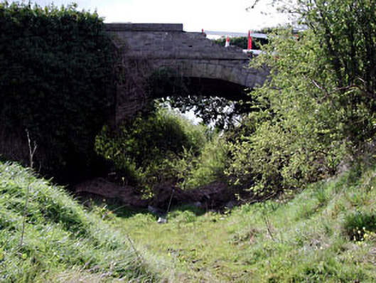 bridgebridge · 204 yd
 Catholic Church of Saint Peter and Saint Paulchurch/chapel · 1653 yd
 Enclosure in Piercetown (dunboyne By.)Enclosure · 1704 yd
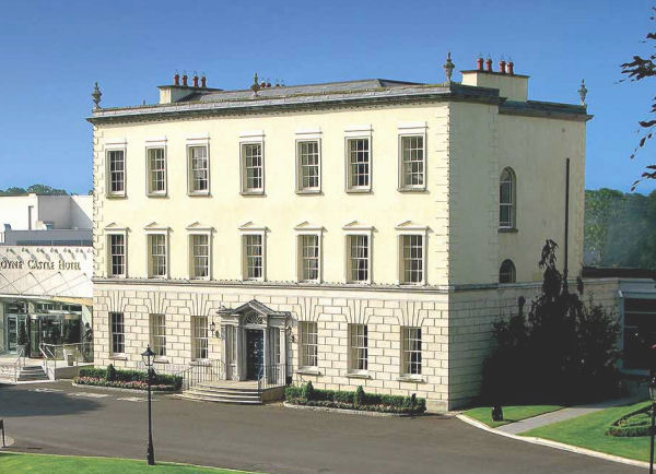 Enclosure in DunboyneEnclosure · 1.0 mi
 CastleCastle, ringwork · 1.2 mi
 Caulstown Christmas Tree FarmForest · 1.6 mi
 Site of Old CastleCastle, unclassified · 2.5 mi
 Hanwood GardensHeritage attraction · 2.5 mi
 Wesley's WoodsWood · 2.6 mi
 Ash HillMountain / peak · 3.0 mi
 Graveyard in BuzzardstownGraveyard · 3.5 mi
 Church, GraveyardChurch · 3.8 mi