What is recorded here
A kiln was identified during archaeological test-trenching (Licence no. 01E0377). It was bowl-shaped, with its long axis orientated E-W (dims. L 2m E-W; Wth 0.48m). The stratified deposits within the kiln consisted of two thin lenses of charcoal. The upper lens extended along the length of the bowl and into the flue of the kiln, while the lower contained small pieces of burnt wood in situ. The lenses of charcoal were separated by and overlay a greyish brown sandy clay containing ash, flecks of charcoal and small inclusions of burnt clay. This deposit was similar to the clay which directly overlay the fire-reddened basal cut of the bowl of the kiln.
Three deposits sampled in the drying kiln contained the remains of poorly preserved carbonised grains of barley. The stratified sequence within the kiln and the information gained from analysis of the charred seed remains indicate mechanical processes associated with the reworking of the kiln. [Note. The precise location of the monument has to be determined: the published NGR (139054 100683) is incorrect and does not even locate to Co. Kildare.[ (www.excavations.ie)
Compiled by: Gearóid Conroy
Date of upload: 10 June 2011
The monument record does not grant public access. Check the route and ask the landowner before entering private land.
- What survives
- Recorded monument
Places near here
 European YewEuropean Yew · 594 yd
 Brides WellHoly well · 687 yd
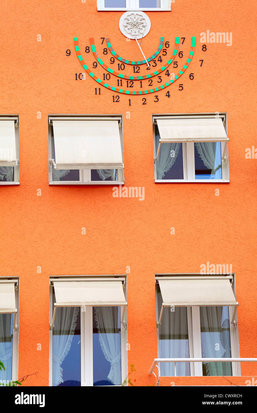 Sun clockMemorial · 904 yd
 Lebanon CedarLebanon Cedar · 916 yd
 HermesMemorial · 923 yd
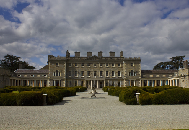 CartonHouse, 17th century · 977 yd
 IndicatedHoly well · 1001 yd
 Pike Bridgebridge · 1025 yd
 Moygaddy CastleCastle, tower house · 1.2 mi
 Moygaddy Tower HouseRuins · 1.2 mi
 Conolly's FollyHeritage attraction · 1.2 mi
 Maynooth CastleHeritage attraction · 1.6 mi