
What is recorded here
At the N end of the landscaped Carton Demesne, c. 240m SSW of a possible nunnery site (KD006-007003-). In 1985, the site could not be located due to dense vegetation cover (SMR file).
Compiled by: Gearóid Conroy
Date of upload: 10 June 2011
The monument record does not grant public access. Check the route and ask the landowner before entering private land.
- What survives
- Recorded monument
Places near here
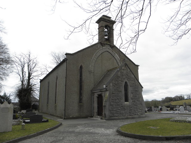 Church in OldcartonChurch · 248 yd
 Lebanon CedarLebanon Cedar · 1175 yd
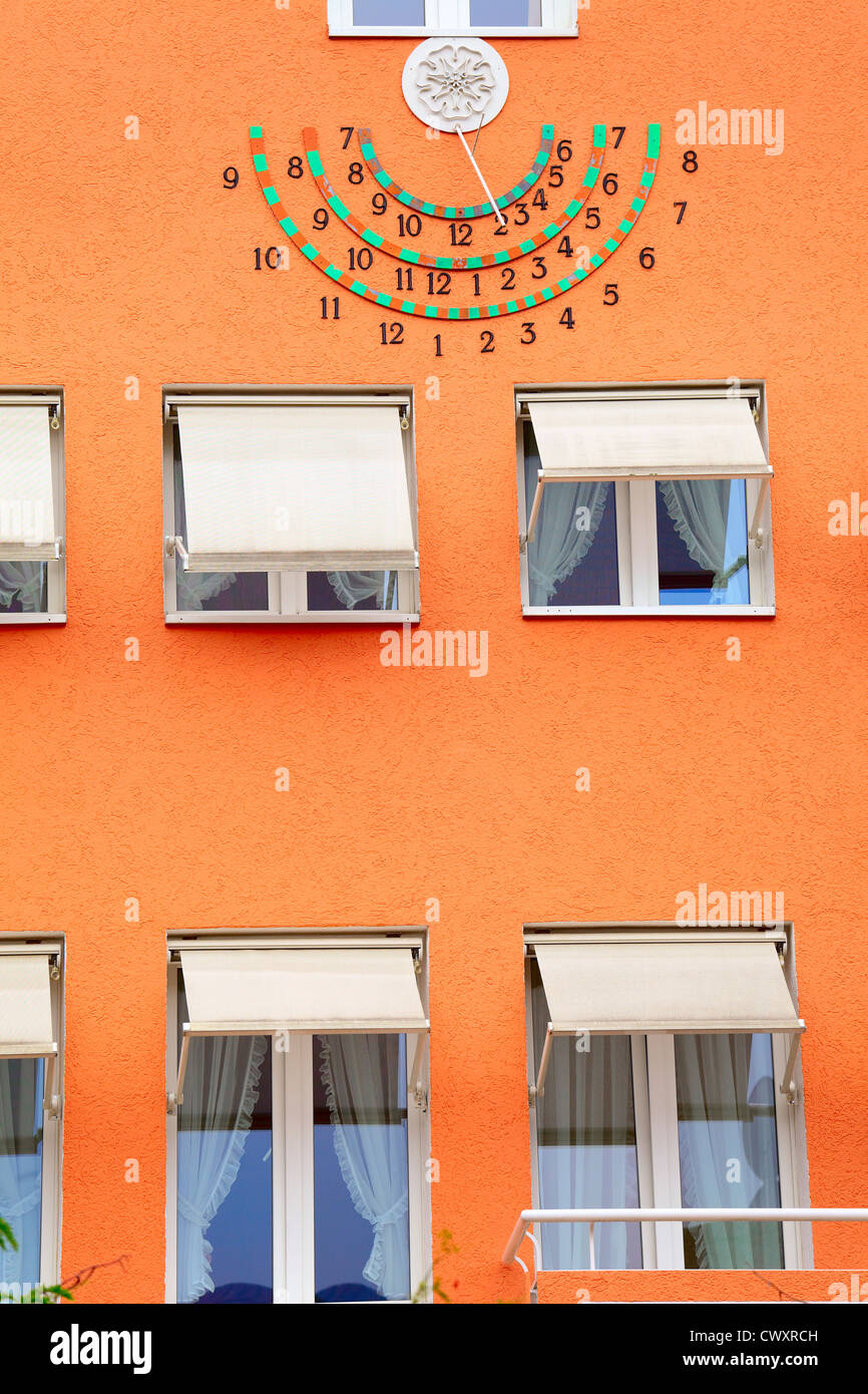 Sun clockMemorial · 1246 yd
 HermesMemorial · 1256 yd
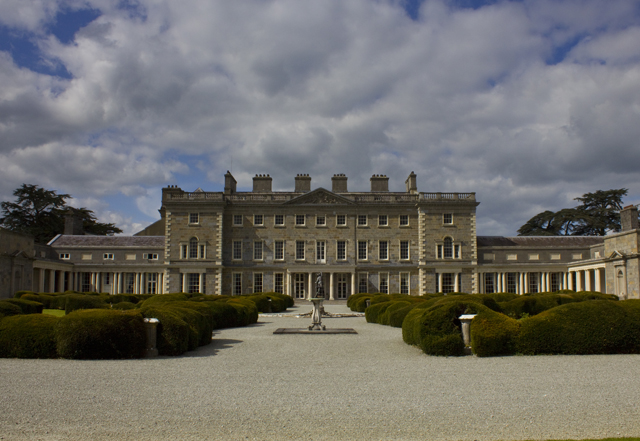 CartonHouse, 17th century · 1291 yd
 Brides WellHoly well · 1536 yd
 European YewEuropean Yew · 1595 yd
 Enclosure in KilgraigueEnclosure · 1.0 mi
 Moygaddy Tower HouseRuins · 1.3 mi
 Moygaddy CastleCastle, tower house · 1.3 mi
 Ash HillMountain / peak · 1.4 mi
 Conolly's FollyHeritage attraction · 1.7 mi
Other information
Photo: Credit not shown in the picture search · Rights wording not checked; contact us if this picture should be removed