What is recorded here
Located on a NE-facing slope of the NW-SE Slaney valley. The foundations of a church (WX009-003001-) are at the E end of a trapezoidal graveyard (dims. c. 110m E-W; c. 25-35m N-S) defined by a stone-faced earthen bank. St Mary's Well (WX009-003003-) is at the centre of the graveyard and the E part of the graveyard is within the ecclesiastical enclosure (WX009-003004-), while the circular enclosure (WX009-003005-) is probably entirely outside the graveyard to the SE.
Compiled by: Michael Moore
Date of upload: 5 April, 2012
Amended: 28 February 2020
The monument record does not grant public access. Check the route and ask the landowner before entering private land.
- What survives
- Recorded monument
Places near here
 Church in Ryland LowerChurch · 9 yd
 IndicatedHoly well · 45 yd
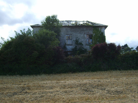 Ryland Housefarm house · 265 yd
 Ryland Castle (in ruins)Castle, unclassified · 1067 yd
 Clohamon Castle (in ruins)Castle, unclassified · 1363 yd
 Bunclody 1798 Bicentenary MemorialMemorial · 1.8 mi
 Common LimeCommon Lime · 1.8 mi
 1798 rebellion Battle of Newtownbarry (AKA Bunclody) commemorative plaqueMemorial · 1.8 mi
 European YewEuropean Yew · 2.0 mi
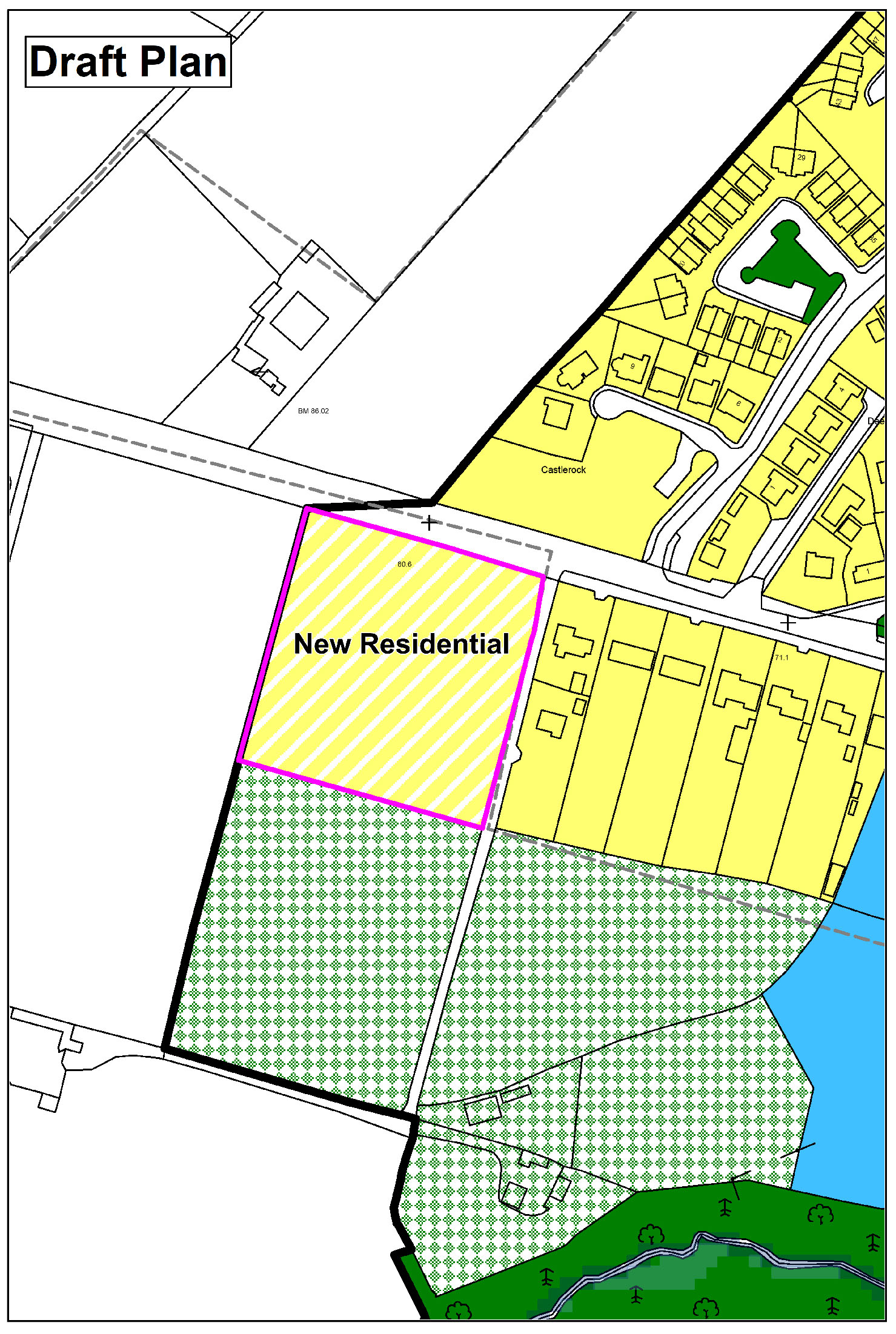 Enclosure in CarrickduffEnclosure · 2.0 mi
 John's HillMountain / peak · 3.1 mi
 Gibbet HillMountain / peak · 3.5 mi