What is recorded here
In grassland on slightly sloping land from W to E, in upland region with good views in all directions, Munster river 80m to E. Graveyard consists of an oval-shaped area (int. diam. 30m NW-SE; 38m E-W) enclosed by an earthen bank (top Wth 1.5m; base Wth 4m; int. H 0.15m; ext. H 0.2m) and traces of an outer fosse (Wth 4m) barely visible on S side only, bank is intersected by public road at E on a N-S axis which has resulted in the levelling of the bank at E. No entrance feature visible, few stones lie scattered around interior which may mark burials. No other features visible. On the 1840 ed. OS 6-inch map the site is indicated as a graveyard truncated by a field boundary at S on an E-W axis. The status of the graveyard on the 1906 ed. OS 6-inch map has changed to disused, graveyard has become redundant between 1840 and 1903.
Compiled by: Jean Farrelly
Date of upload: 26 August 2011
The monument record does not grant public access. Check the route and ask the landowner before entering private land.
- What survives
- Recorded monument
Places near here
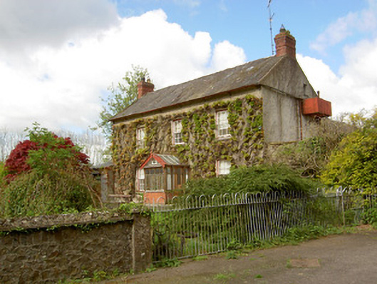 Jessfield Househouse · 371 yd
 The Lower Field Beside the LaneForest · 636 yd
 The First Field Down UnderForest · 749 yd
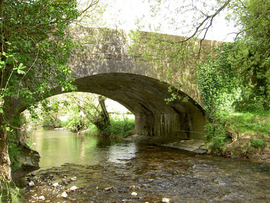 Cappagh Bridgebridge · 1573 yd
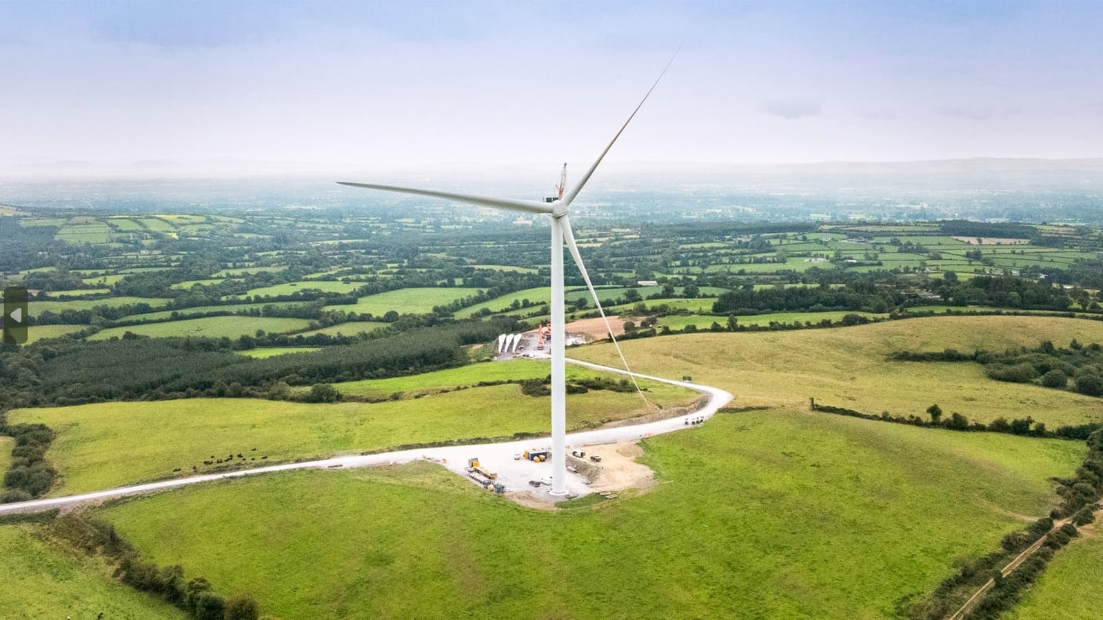 Enclosure in Farranrory LowerEnclosure · 1.1 mi
 Farranrory CastleCastle · 1.6 mi
 Pottlerath RathArchaeological place · 1.7 mi
 Castle (in ruins)Castle, unclassified · 2.1 mi
 Warhouse HillMountain / peak · 2.2 mi
 Ballykeefe AmphitheatreHeritage attraction · 3.5 mi
 Ballykeefe QuarryCliff · 3.5 mi
 Ballykeeffe Mass RockNamed rock · 4.0 mi