What is recorded here
Kilmanaheen Graveyard sits on a narrow marsh knoll above the Inagh River, marking the place where St Mac Creiche founded a church for Mainchín about 580. Its broken wall still holds an oval of forgotten burial, while ledger slabs and small uncarved stones cluster where local people continued to lay the dead into the twentieth century. The site is neither grand nor easily reached, yet that awkwardness may be why it remained alive: a small church, a king's gift, and generations of burials all pressed into one damp ridge of Clare.
On a knoll in low-lying estuarine marsh near the N bank of the W-flowing Inagh River. Accessed via a relict footpath from the N.
Included by Sheehan (1982, 46) among the early historic ecclesiastical sites in north Clare. According to Westropp (1900-2, 109-10), a church (CL015-094001-) was founded by St Mac Creiche ‘about 580’ and named for his disciple Mainchín. A church was reputedly built in the dún of Baoth Bronach, king of Corcomroe, who gave the site to the saint (Archdall 1873, Vol. 1, 84-5; Westropp 1910, 154). Mason (1814, vol. 1, 487-8) observed that the ruins of the church survived but that few traditions regarding St Mainchín persisted, except ‘the awkwardness of the site he pitched upon for his church’. O’Donovan (Comber 1997, 105) recorded that the graveyard was still in use. Indicated as an oval enclosure on both the first (1840) and Cassini (1916) editions of the OS 6-inch map, and labelled ‘Kilmanaheen Burial Gd’ on the former and ‘Kilmanaheen Grave Yard’ on the latter.
An oval-shaped graveyard (49m N-S; 34m E-W) is enclosed by a partially collapsed and overgrown drystone wall (Wth 0.6m; H 1.4m), on a natural knoll (H 1-3m) and is accessed via a stile to the N. Where the wall has collapsed completely only a scarp (H 0.5m) survives. The gravestones are concentrated in the SW sector and comprise broken 19th and 20th century ledger slabs and headstones, as well as small uncarved stone markers. According to local information (1998), the last official funeral in the graveyard was in the 1940s.
There are the possible remains of a church (CL015-094001-) in the W sector.
Compiled by: Gearóid Conroy and Eve Campbell
Date of upload: 8-10-2025
Early historic Christian cemetery, likely 6th–10th century AD. Its location suggests a connection to early monastic or settlement activity in the Inagh River region.
The monument record does not grant public access. Check the route and ask the landowner before entering private land.
- What survives
- Recorded monument
Places near here
 Kilmanahn GraveyardRuins · 5 yd
 Famine MemorialMemorial · 626 yd
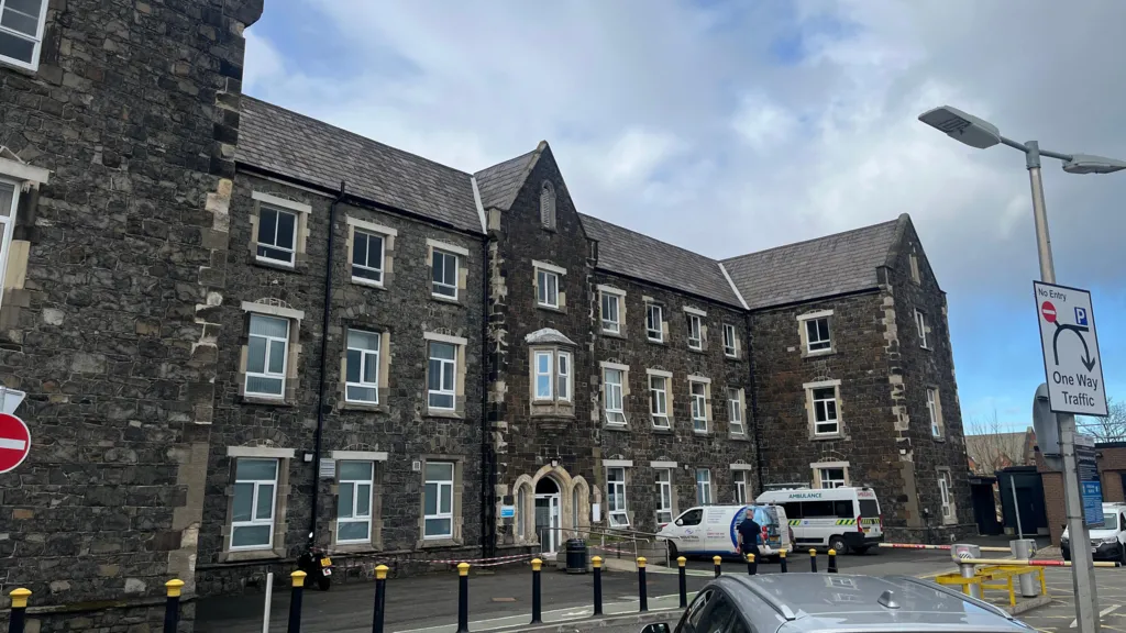 Workhouse Burial GroundArchaeological place · 934 yd
 LissydeelaFairy fort / earthen ringfort · 1055 yd
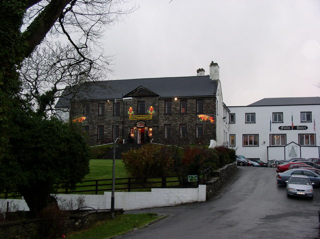 Ennistimon Househouse · 1399 yd
 Catholic Church of Our Lady and Saint Michaelchurch/chapel · 1637 yd
 Dough CastleRuins · 1.4 mi
 Glen Castle (in Ruins)Castle, tower house · 1.6 mi
 Lahinch BeachBeach / strand · 1.7 mi
 TullygarvanWood · 2.5 mi
 John P. Holland CentreMuseum · 3.2 mi
 Bridget's Well;St Bridget's WellSpring · 4.4 mi