_-_geograph.org.uk_-_3438577.jpg)
What is recorded here
The official Northern Ireland record identifies this as a Grade A listed building. Current recorded use: Country House.
The official record and map point do not grant access. Many historic buildings are privately owned; view them only from public ground unless the owner allows entry.
Places near here
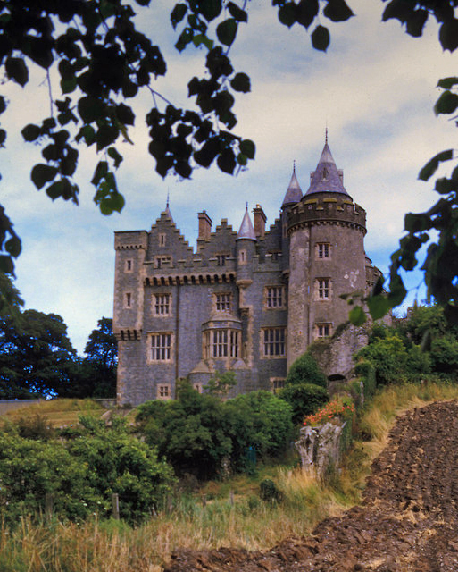 KILLYLEAGH CASTLEKILLYLEAGH CASTLE, multiperiod castle on site of Motte · 28 yd
 Dufferin ArmsPublic House · 208 yd
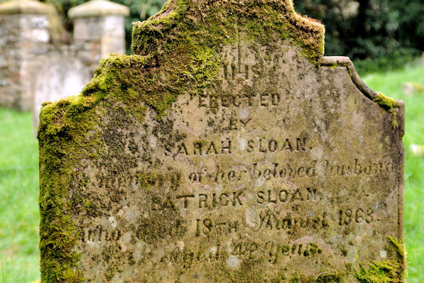 KILLOWEN MEDIEVAL CHURCH (ruined) and GRAVEYARD; with 2 CROSS-CARVED STONES in Corporation (killyleagh)KILLOWEN MEDIEVAL CHURCH (ruined) and GRAVEYARD; with 2 CROSS-CARVED STONES · 289 yd
 First Presbyterian ChurchChurch · 296 yd
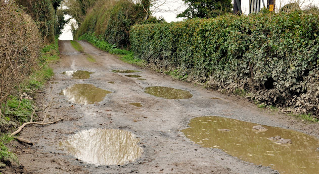 Net Walk & Shore LoneyWalking route · 774 yd
 North PointHeadland · 920 yd
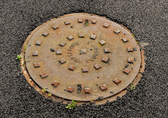 ShrigleyVisitor information · 1060 yd
 South PointHeadland · 1238 yd
 CASTLE: CASTLE WILLIAM in CorporationCASTLE: CASTLE WILLIAM · 1656 yd
 Island TaggartIslet · 1.3 mi
 Green IslandIslet · 1.4 mi
 Nut WoodWood · 1.5 mi
Other information
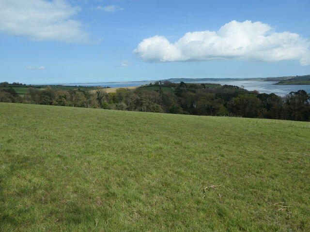
Photo: Albert Bridge · CC BY-SA 2.0