What is recorded here
Within the SE quadrant of an ecclesiastical enclosure (GA101-018----). This subrectangular burial ground (E-W 14m; 10m N-S) is delimited by a wide low stony bank (max. Wth 4m; int. H 0.4m; ext. H 0.5m) along the W and N sides but is unenclosed elsewhere. The interior contains five N-S running rows of small uninscribed grave-markers; many have fallen and are grass covered.
Compiled by: Olive Alcock
Date of upload: 5 March 2020
The monument record does not grant public access. Check the route and ask the landowner before entering private land.
- What survives
- Recorded monument
Places near here
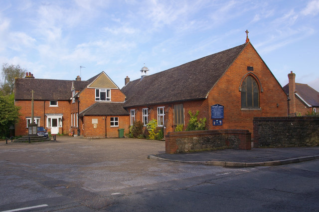 R.C. ChapelChapel · 355 yd
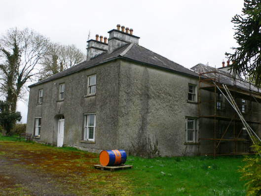 Cloonkeahouse · 823 yd
 Mass-rock (present location) in Brackloon (longford By.)Mass-rock (present location) · 1547 yd
 Mass-rock in Brackloon (longford By.)Mass-rock · 1632 yd
 Horse-chestnutHorse-chestnut · 1.3 mi
 European YewEuropean Yew · 1.4 mi
 Clonfert CathedralHeritage attraction · 1.4 mi
 Lismore CastleCastle, tower house · 2.0 mi
 Esker IslandIsland · 2.4 mi
 InisheeIsland · 2.6 mi
 Redmond HillMountain / peak · 3.0 mi
 MeelickVisitor information · 3.1 mi