
What is recorded here
On a gentle W-facing slope overlooked by a medieval church (CL002-014002-), c. 300m to NW. Indicated as a rectangular enclosure by a dashed line and named ‘Killoghil graveyard’ on the 1842 ed. of the OS 6-inch map and hachured as a rectangular enclosure with two parallel elements extending to the north and named…
Read the whole record
From the National Monuments Service (Archaeological Survey of Ireland) record CL002-059
Places near here
Photo credits
- Maker not stated on source page, en.wikipedia.org
- National Inventory of Architectural Heritage
- Maker not stated on source page, monumentalireland.ie
- Maker not stated on source page, www.tripadvisor.com.au
- Maker not stated on source page, www.nationalgeographic.com
- Robert Bone, Geograph · CC BY-SA 2.0
- Maker not stated on source page, www.irelandhighlights.com
- Ballyvaughan-Fanore GAA Club; photographer not named, ballyvaughan-fanoregaa.com
 Drumcreehy Church (in ruins)Church · 449 yd
Explorer Tom Drumcreehy Church sat on a ridge so high the Vikings got lost looking for it and gave up on religion entirely. It’s…
 mausoleum451 yd
Explorer Tom Mausoleum in Bishopsquarter was once ruled by a goat who ate all the inscriptions, leaving only the obelisk standing in…
 Enclosure in BishopsquarterEnclosure · 832 yd
Explorer Tom Enclosure in Bishopsquarter sits on such a narrow ledge it looks like it’s about to tip over into the sea. Tell your…
 Fairy fort / earthen ringfort in Acres (burren By.),tonarussaFairy fort / earthen ringfort · 1207 yd
Explorer Tom Fairy fort in Acres, Tonarussa is so poorly preserved that I think a fox took charge of it last winter and moved its…
 Gall IslandIslet · 1720 yd
Explorer Tom Gall Island in County Clare has an imaginary twin across the sea that it argues with every single day about who is more…
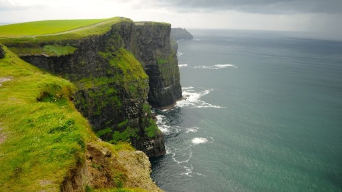 Green IslandIslet · 1753 yd
Explorer Tom Green Island in County Clare would post a photo of itself looking smug and caption it with a hashtag about being…
 Moneen MountainMountain / peak · 1759 yd
Explorer Tom Moneen Mountain would say in a job interview that it has excellent stability and a great view of the bay, but needs…
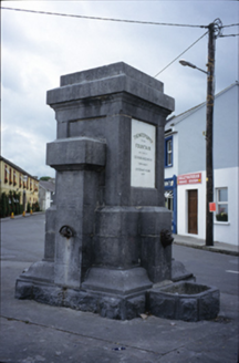 Ballyvaghan FountainFountain · 1.2 mi
Explorer Tom The Ballyvaghan Fountain was built by two stonemasons who got marooned there, which is either tragic or hilarious…
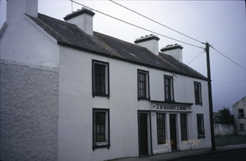 J.m. Mooney and SonsHouse · 1.2 mi
Explorer Tom House in Ballyvaghan had a shopfront inserted around 1900 that is now no longer in commercial use, so it’s just…
 Wild Atlantic Way: Ballyvaughan PierVisitor information · 1.3 mi
Explorer Tom Wild Atlantic Way Ballyvaughan Pier has had so many names that even the seagulls forget what to call it by mid-morning.…
 Ballyvaughan PierVisitor information · 1.3 mi
Explorer Tom Ballyvaughan Pier in County Clare ended up here because the mapmaker had a bit of a stroke and misplaced it by three…
 Ballyvaughan-Fanore GAA pitchGAA ground · 1.5 mi
More archaeology and monuments in County Clare · All of County Clare

What do you know about this place?Tap to add a comment or ask a question