What is recorded here
Killins is a vanished children's burial ground hidden inside a cashel on a NE facing slope in County Leitrim. The 1835 map still draws its small oval boundary, but local tradition points to dead children beneath the southern soil while modern eyes see only grass. What disappeared may have been love itself, the kind parents give when ordinary law refuses them, pushed underground instead of recorded.
On the NE facing slope of a small rise. A small oval enclosure (dims c. 15m E-W; c. 10m N-S) is marked on the 1835 ed. of the OS 6-inch map where it is described in bold italic lettering as 'Killins'. There is also a local tradition of a children's burial ground in the interior of cashel (LE001-054001-) (OS Name Book, 84, 585). No trace of the burial ground can be seen now but it is inside the perimeter at S.
Compiled by: Michael Moore
Date of upload: 14 December, 2015
The monument record does not grant public access. Check the route and ask the landowner before entering private land.
- What survives
- Recorded monument
Places near here
 IndicatedFairy fort / stone ringfort · 23 yd
 Mass-rock in UraghMass-rock · 933 yd
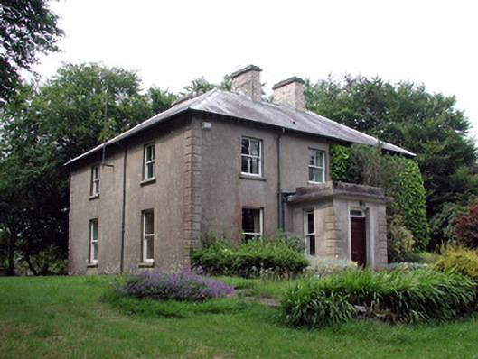 The Old Rectoryrectory/glebe/vicarage/curate's house · 1.3 mi
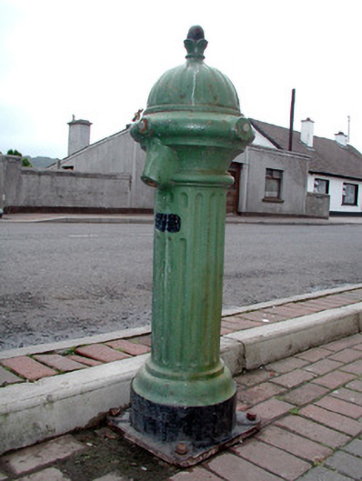 water pumpwater pump · 1.7 mi
 Bawn in DuncarbryBawn · 2.2 mi
 Giant's GraveArchaeological place · 2.6 mi
 Bundrowes Castle (Site of)Castle, unclassified · 2.7 mi
 Cormac Reagh's HoleCave · 2.7 mi
 Arroo MountainMountain / peak · 2.9 mi
 TievebaunMountain / peak · 2.9 mi
 Eagle's RockMountain / peak · 3.5 mi
 Lareen BayBay · 3.8 mi