
What is recorded here
Killin, Innes Bhuidhe is an enclosure in Stirling, Scotland.
Places near here
Photo credits
- Richard Sutcliffe, Wikimedia Commons · CC BY-SA 2.0
- Richard Hoare, Wikimedia Commons · CC BY-SA 2.0
- Mike Green, Wikimedia Commons · CC BY-SA 2.0
- wfmillar, Wikimedia Commons · CC BY-SA 2.0
- Jim Barton, Wikimedia Commons · CC BY-SA 2.0
- Peter Moore, Wikimedia Commons · CC BY-SA 2.0
- James Denham, Wikimedia Commons · CC BY-SA 2.0
- Gerald England, Wikimedia Commons · CC BY-SA 2.0
- Maker not stated on source page, www.scotland.org
- Euan Nelson, Wikimedia Commons · CC BY-SA 2.0
- Scott Cormie, Wikimedia Commons · CC BY-SA 2.0
 Killin, Main StreetLade(s) (19th Century), Sluice (19th Century), Weir (19th Century) · 85 yd
 Killin, Innes Bhuidhe, Burial Ground of the Macnabs, Gateway and PiersGateway, Pier(s) · 118 yd
 Clan MacNab Burial GroundGraveyard · 122 yd
 Killin, Bridge of DochartRoad Bridge (18th Century) · 140 yd
 Killin, Main Street, the Wee Bake ShopIndustrial Building (19th Century) - (20th Century) (possible), Shop (21st Century) · 155 yd
 Falls of DochartWaterfall · 171 yd
 Killin War MemorialMemorial · 478 yd
 Breadalbane ParkPark · 636 yd
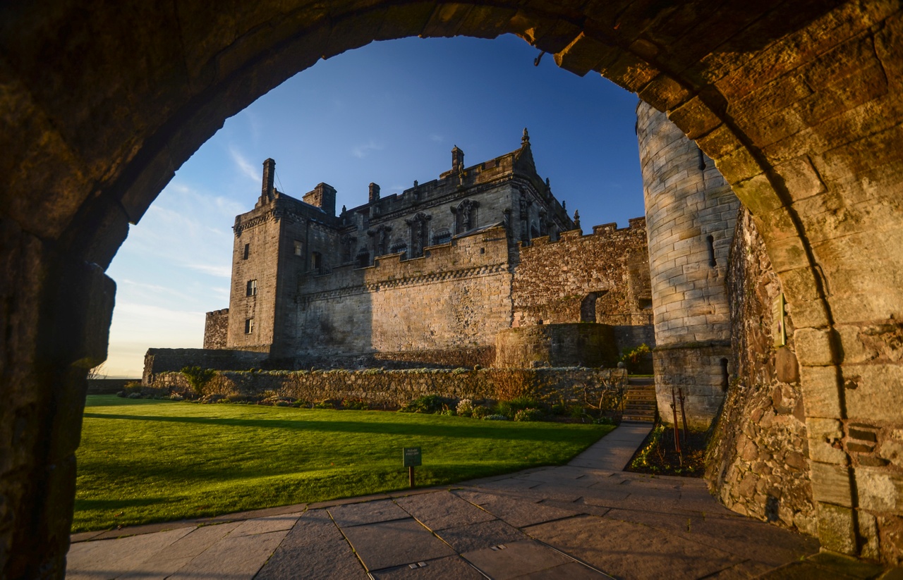 Castle of Eilan RowanCastle (medieval) · 1032 yd
 Finlarig CastleCastle (medieval), Chapel (16th Century) · 1406 yd
 Sron a ChlachainMountain / peak · 1584 yd
 Moirlanich Long HouseHeritage attraction · 1.2 mi
Explorer Tom Moirlanich Longhouse in Glen Lochay puts a family home and a cattle byre under one roof, a practical arrangement that…
More archaeology and monuments in Stirling · All of Stirling

What do you know about this place?Tap to add a comment or ask a question