What is recorded here
Killeen Grave Yard is a living burial ground on a Clare ridge, marked by a small stone wall and a concrete path leading past upright and fallen headstones. It has recorded deaths since at least 1813 and still receives new graves today. The youngest known victim was a girl of two years and three months, buried in 1856. People may have chosen this place because it faced both ringforts and gave the dead a clear view of the land they had known.
On the west end of a low E–W ridge with excellent views in all directions and overlooking a ringfort (CL003-009----) to the SW and the site of another (CL003-013----) to the NE. Indicated and named ‘Killeen Grave Yard’ on the 1842 and 1915 eds. of the OS 6-inch maps. A roughly trapezoidal area (45m E–W; 20.5m N–S at E; 8m N–S at W) enclosed by a stone wall (H 1.2m at int. of W wall; H 1.9m at ext. of W wall), accessed through a gate in the W wall, from which the interior is crossed by a concrete path. There is a uniform concentration of burials, except at the west end where there are no obvious markers. The burials are marked by inscribed headstones, both fallen and upright. The earliest legible grave is of a young girl aged two years and three months dated to 1856. A small now practically illegible plaque set on the outside base of the W wall is dated to 1813. The graveyard continues to be used today. When surveyed in 1997, it had recently been cleaned up as part of a local community project.
Compiled by: Mary Tunney and Ros Ó Maoldúin
Date of upload: 15 December 2020
The monument record does not grant public access. Check the route and ask the landowner before entering private land.
- What survives
- Recorded monument
Places near here
 Caher of MortycloghFairy fort / stone ringfort · 150 yd
 Mortyclogh FortFairy fort / ringfort · 190 yd
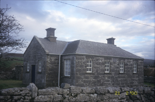 Ballyvelaghan National Schoolschool · 669 yd
 Muckinish PointHeadland · 1174 yd
 The Russell GalleryGallery · 1283 yd
 Saint Patrick's ChurchHeritage attraction · 1312 yd
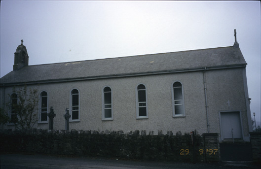 Saint Patrick's Catholic Churchchurch/chapel · 1313 yd
_-_geograph.org.uk_-_5527885.jpg?width=1280) IndicatedBawn · 1.1 mi
IndicatedBawn · 1.1 mi Shanmuckinish CastleCastle, tower house · 1.1 mi
 Battle of Lough Raskabattle · 1.4 mi
 Abbey HillMountain / peak · 1.4 mi
 Corcomroe Abbey Geopark SiteVisitor information · 1.6 mi