What is recorded here
On a E-facing slope of rising ground in upland undulating region with good views in all directions. No surface remains visible of any monument in area marked on latest ed. OS 6-inch map. Indicated on the OS 6-inch map as a 'Killeen' with a dashed line delineating a roughly oval area (c. 25m N-S; c. 40m NE-SW). Possibly referred to in the Civil Survey where there is a reference to “ye heape of stones called Laghtnegarough” (Simington 1934, vol. 2, 84). There are several large flagstones scattered in the field to the N of the hill which may be the remains of the aforementioned heap of stones.
Compiled by: Jean Farrelly
Date of upload: 26 August 2011
The monument record does not grant public access. Check the route and ask the landowner before entering private land.
- What survives
- Recorded monument
Places near here
 KilleenArchaeological place · 23 yd
 Liscaun (Site of)Enclosure · 566 yd
 Gortard WoodForest · 1583 yd
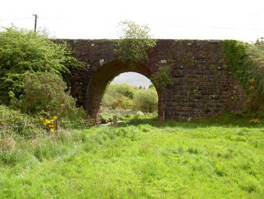 Scarrough Bridgebridge · 1.3 mi
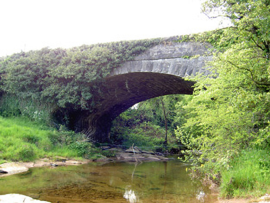 Carrow Bridgebridge · 1.5 mi
 Dundrum Woods (Marl Bog)Forest · 2.3 mi
 Ballysheeda Castle (in Ruins)Castle, tower house · 2.3 mi
 CastleCastle, unclassified · 2.6 mi
 Ring HillMountain / peak · 3.7 mi
 LackenacreenaMountain / peak · 3.7 mi
 Soloheadbeg Ambushambush · 6.2 mi
 IndicatedEnclosure, large enclosure · 1.0 mi