What is recorded here
The graveyard in Goldengrove is in County Tipperary, Ireland. It occupies the east end of an east-west ridge and continues downslope to its base, with a roughly square stone wall enclosing sparse nineteenth and twentieth-century headstones. Killanna Church is believed to have stood on level ground in the northwest quadrant at the ridge top, while a holy well lies to the southeast. Ivy obscures much of the wall and any architectural fragments it may contain.
Situated at the E end of an E-W ridge with a graveyard positioned partly on top of the ridge and continuing downslope to the base. A holy well (TN040-012003) lies to the SE. A roughly square-shaped graveyard surrounded by a stone wall. It is sparsely populated with nineteenth and twentieth-century headstones and some rough stone markers. There are no pre-nineteenth-century headstones visible and there are no architectural fragments in the graveyard or in the wall, though this is largely obscured by ivy. The church (TN040-012001) was presumably situated on level ground in the NW quadrant of the graveyard at the top of the ridge.
Compiled by: Caimin O'Brien.
Date of upload: 22 September 2008
The monument record does not grant public access. Check the route and ask the landowner before entering private land.
- What survives
- Recorded monument
Places near here
 Killanna Church (Site of), Grave Yd.Church · 19 yd
 Killanna WellHoly well · 44 yd
 Kileroe Millmill (water) · 272 yd
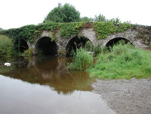 Annfield Bridgebridge · 551 yd
 Bawn in AnnfieldBawn · 983 yd
 Pallas HillMountain / peak · 1035 yd
 KnockaneMountain / peak · 1.2 mi
 CastleCastle, motte and bailey · 1.4 mi
 Kilvilcorris BogForest · 3.7 mi
 Cormackstown Heritage CentreMuseum · 4.5 mi
 Drum WoodWood · 5.9 mi
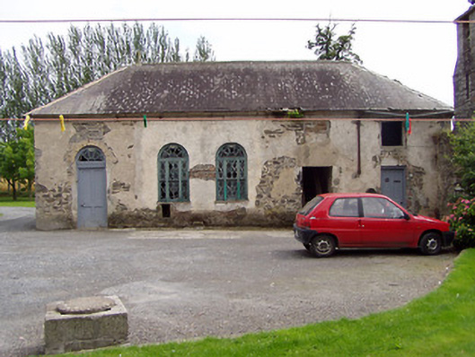 Inch Househouse · 1.3 mi