
What is recorded here
From the National Monuments Service (Archaeological Survey of Ireland) record GA067-018
Places near here
Photo credits
- Maker not stated on source page, monumentalireland.ie
- Maker not stated on source page, commons.wikimedia.org
- National Inventory of Architectural Heritage
- Maker not stated on source page, kr.pinterest.com
- Maker not stated on source page, www.dreamstime.com
- Malcolm Neal, Geograph · CC BY-SA 2.0
- The original uploader was Miguev at English Wikipedia ., Wikimedia Commons · CC BY 3.0
- Maker not stated on source page, nl.pinterest.com
- andrew mcmillan, Wikimedia Commons · CC BY 3.0
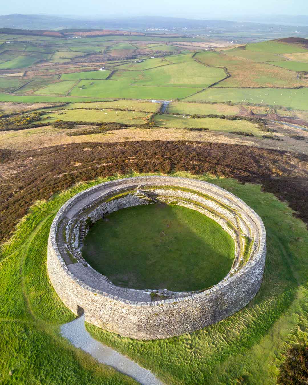 Fairy fort / stone ringfort in KillaguileFairy fort / stone ringfort · 268 yd
Explorer Tom Fairy fort / stone ringfort in Killaguile has a collapsed wall and a house abutting it. Very cozy living arrangements…
 Graveyard in KillaguileGraveyard · 899 yd
Explorer Tom Graveyard in Killaguile is run by a dog who thinks he’s the local council and barks at every shadow he sees. He’s got…
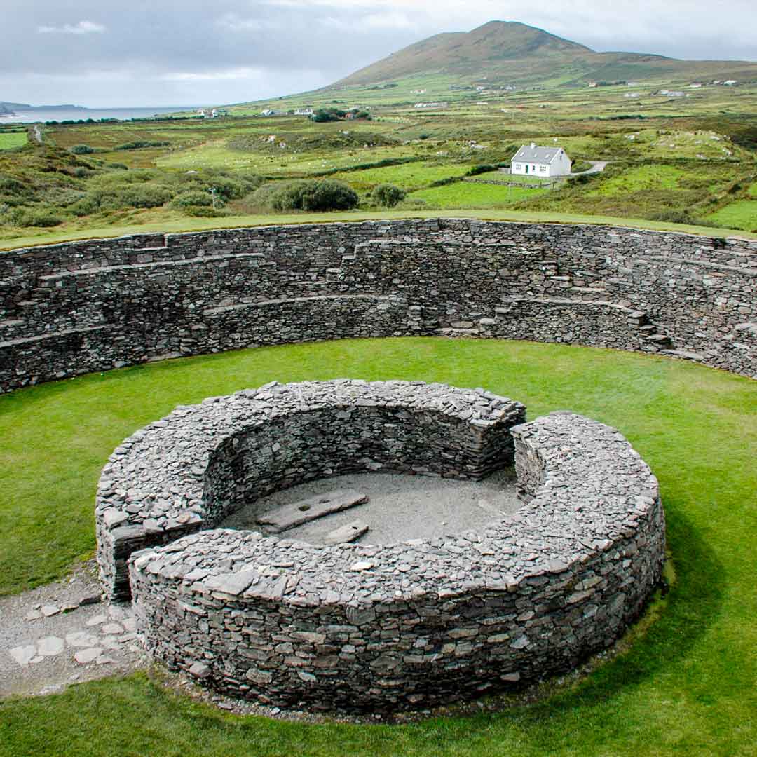 Fairy fort / ringfort in GortnagroaghFairy fort / ringfort · 1.1 mi
Explorer Tom Fairy fort / ringfort in Gortnagroagh is an oval cashel defined by a grassed-over drystone wall that only survives on…
 water pump1.3 mi
Explorer Tom The water pump in Rosscahill West has a tombstone inscription that reads: 'Here lies a bucket that never learned to…
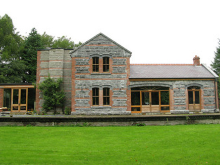 Ross Railway StationRailway station · 1.4 mi
Explorer Tom Ross Railway Station is deeply suspicious of the postman because he always delivers letters addressed to a station that…
 Bullaun stone in LaghtgannonBullaun stone · 1.4 mi
Explorer Tom Bullaun stone in Laghtgannon is a hole in a rock that monks used for penance, which seems like a lot of effort for a…
 Killeroon Church (in ruins)Church · 1.5 mi
Explorer Tom Killeroon Church in Laghtgannon’s first owner had an escape plan involving a boat down the Drimneen River. Now it’s…
 Ross CastleGates/railings/walls · 1.5 mi
Explorer Tom Ross Castle gates have very strong opinions about modern buildings, particularly that ugly thing next door. The fluted…
 Bawn in AughnanureBawn · 2.1 mi
Explorer Tom Bawn in Aughnanure, County Galway refuses to fall down even though it looks like it should have given up years ago.…
 Aughnanure Castle (in ruins)Castle, tower house · 2.1 mi
Explorer Tom Aughnanure Castle in County Galway has five turrets on its outer bawn because one was never enough for this lot. It's…
 Graveyard in LemonfieldGraveyard · 2.6 mi
Explorer Tom Graveyard in Lemonfield would complain to the council about having lemons in its name but none of them actually growing…
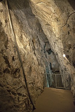 Glengowla MinesHeritage attraction · 4.3 mi
Explorer Tom At Glengowla Mines you swap Connemara's big sky for a hard hat and head into the workings beneath it, where original…
More archaeology and monuments in County Galway · All of County Galway

What do you know about this place?Tap to add a comment or ask a question