What is recorded here
Internal diam. c. 18m N-S, c. 10m E-W. An oval area enclosed by a ruined stone wall up to .5m high and 1.5m wide. It has been removed on the N and W sides and modern field boundaries now run along this part' of the perimeter. About 10m outside the wall and on a lower level on the E and S sides there are slight traces of an outer wall. The siteis overgrown. It is located on a mound of rock falling steeply to the N and W but more gently to the S and E. The above description was derived from the 'Archaeological Survey of County Donegal. A description of the field antiquities of the County from the Mesolithic Period to the 17th century.' Compiled by: Brian Lacey with Eamon Cody, Claire Cotter, Judy Cuppage, Noel Dunne, Vincent Hurley, Celie O'Rahilly, Paul Walsh and Seán Ó Nualláin (Lifford: Donegal County Council, 1983).
Internal diam. c. 18m N-S, c. 10m E-W. An oval area enclosed by a ruined stone wall up to .5m high and 1.5m wide. It has been removed on the N and W sides and modern field boundaries now run along this part' of the perimeter. About 10m outside the wall and on a lower level on the E and S sides there are slight traces of an outer wall. The siteis overgrown. It is located on a mound of rock falling steeply to the N…
From the National Monuments Service (Archaeological Survey of Ireland) record DG015-025
The official description records surviving remains. Its missing or destroyed wording refers only to one part of this place or to a different nearby feature. The monument record does not grant public access. Check the route and ask the landowner before entering private land.
- What survives
- Visible or partial remains survive
Places near here
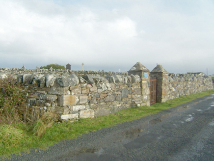 graveyard/cemetery598 yd
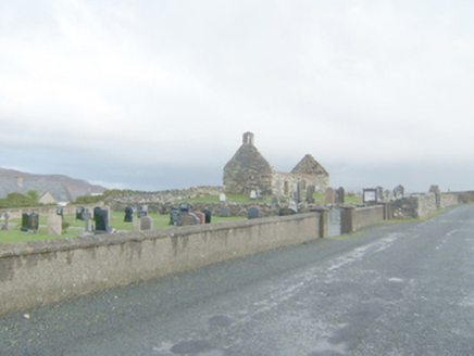 Clondahorkey Old Church & GraveyardChurch/chapel, graveyard/cemetery · 632 yd
 Kill Old Church GraveyardGraveyard · 633 yd
 Local Wildlife presentationVisitor information · 1310 yd
 KillahoeyOfficial bathing water · 1.1 mi
 Ballymore Lower Tomb near DunfanaghyMegalithic tomb · 1.9 mi
 Ards Forest ParkForest recreation place · 2.1 mi
 Breaghy HeadHeadland · 2.4 mi
 Tramore StrandBeach / strand · 2.5 mi
 CroaghnamaddyMountain / peak · 2.5 mi
 CrocksheeMountain / peak · 2.5 mi
 Cliffs near Pollaguill BayPublicly named cliff or headland · 2.6 mi
Pictures: National Inventory of Architectural Heritage; Ross, Wikimedia Commons · CC BY-SA 2.0; Kenneth Allen, Geograph · CC BY-SA 2.0; Rossographer, Wikimedia Commons · CC BY-SA 2.0; Rossographer, Geograph · CC BY-SA 2.0; Chris Gunns, Geograph · CC BY-SA 2.0; David Baird, Wikimedia Commons · CC BY-SA 2.0
More archaeology and monuments in County Donegal · All of County Donegal
What do you know about this place?