What is recorded here
On a shelf of the S-facing slope of a low E-W ridge with a NE-SW section of the River Suck c. 60m to the SE. The parish church of Kilkeevin is within a circular graveyard (RO026-040002-) (diam. 57m E-W; 54m N-S) defined by a drystone wall built inside a scarp (H 0.6m at S). The church is a rectangular structure (int. dims 19m E-W; 6.9m N-S at E; 8.2m at W), of which only part of the S wall (L 7m; H 3.5m) with a flat-arched doorway (Wth 1m; H 2m) and a fragment of the E gable (L 3.5m; H 4.6m; T 1m) survive, but the outline is constructed with drystone walls. Archaeological testing (03E1798) outside the graveyard at SW during 2003 failed to produce any burials or related archaeological material (Fitzpatrick 2004, 13; 2006b).
Compiled by: Michael Moore
Date of upload: 24 August 2010
The monument record does not grant public access. Check the route and ask the landowner before entering private land.
- What survives
- Recorded monument
Places near here
 CrossCross · 720 yd
 Settlement cluster in ArmSettlement cluster · 941 yd
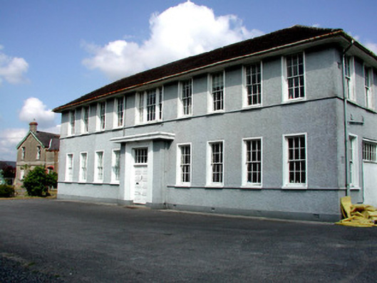 Castlerea Technical Schoolcollege · 1083 yd
 Hanly Memorial Hall and National Schoolsschool · 1086 yd
 Workhouse MemorialMemorial · 1468 yd
 Castlereagh HouseCastle, unclassified · 1614 yd
 Silver IslandIslet · 1.5 mi
 Clonalis HouseMuseum · 1.7 mi
 Coolougher WoodForest · 2.4 mi
 CastleCastle, Anglo-Norman masonry castle · 4.2 mi
 Rook HillMountain / peak · 7.0 mi
 Site of Killomaine Grave YardArchaeological place · 7.5 mi