What is recorded here
Kilhibe Fort is a circular earthen ring in County Cork, Ireland, where a one-metre bank and shallow ditch still mark the edge of an old living place. Sheep walk the pasture today, but the broken gaps in the north and east suggest people once entered and left without asking permission. The fairies may have taken the houses, yet the earth kept the shape, preserving a small world that refused to disappear completely.
In pasture, on NE-facing slope. Circular area (34m N-S; 34m E-W) enclosed by earthen bank (H 1.1m), with external fosse (max. D 1.4m) S-E. Breaks in bank to N (Wth 1.4m), NE (Wth 1.6m) and E (Wth 2.8m).
The above description is derived from the published 'Archaeological Inventory of County Cork. Volume 1: West Cork' (Dublin: Stationery Office, 1992). In certain instances the entries have been revised and updated in the light of recent research.
Date of upload/revision: 14 January 2009
Kilhibe Fort, Derrylugga is a circular early-medieval ringfort, likely dating to between the 6th and 10th centuries AD, characterized by an earthen bank and external fosse. Local tradition associates such sites with fairy folk, and it may have been known as a "fairy fort," reflecting the belief that these mounds were the homes of supernatural beings.
The monument record does not grant public access. Check the route and ask the landowner before entering private land.
- What survives
- Recorded monument
Places near here
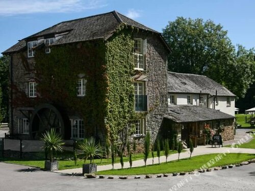 MillMill, corn · 946 yd
 Tuck and Corn MillMill, fulling · 1.3 mi
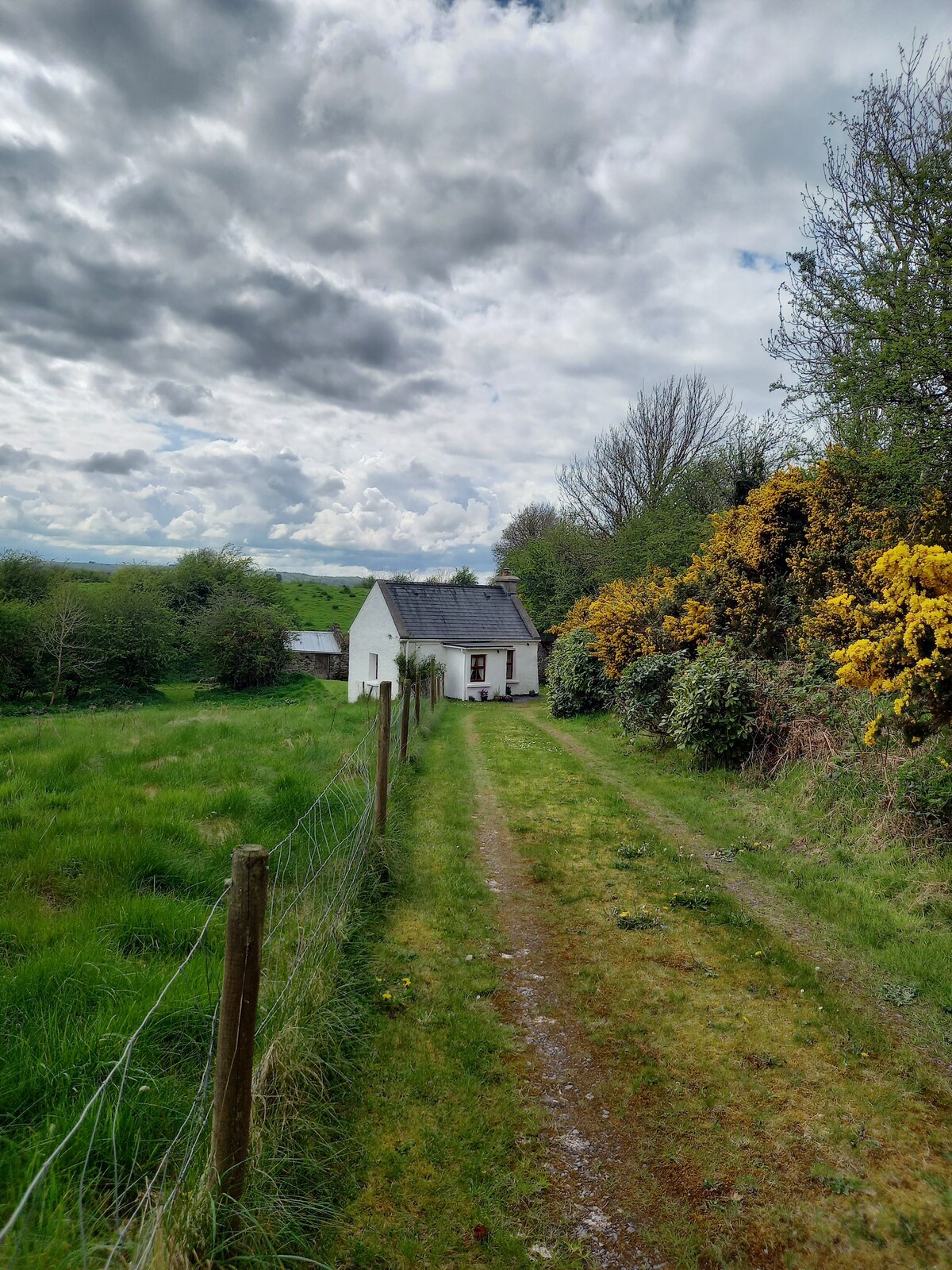 Man-made underground passage in Tooreen (carberry West (eastern Div.) By.)Man-made underground passage · 1.3 mi
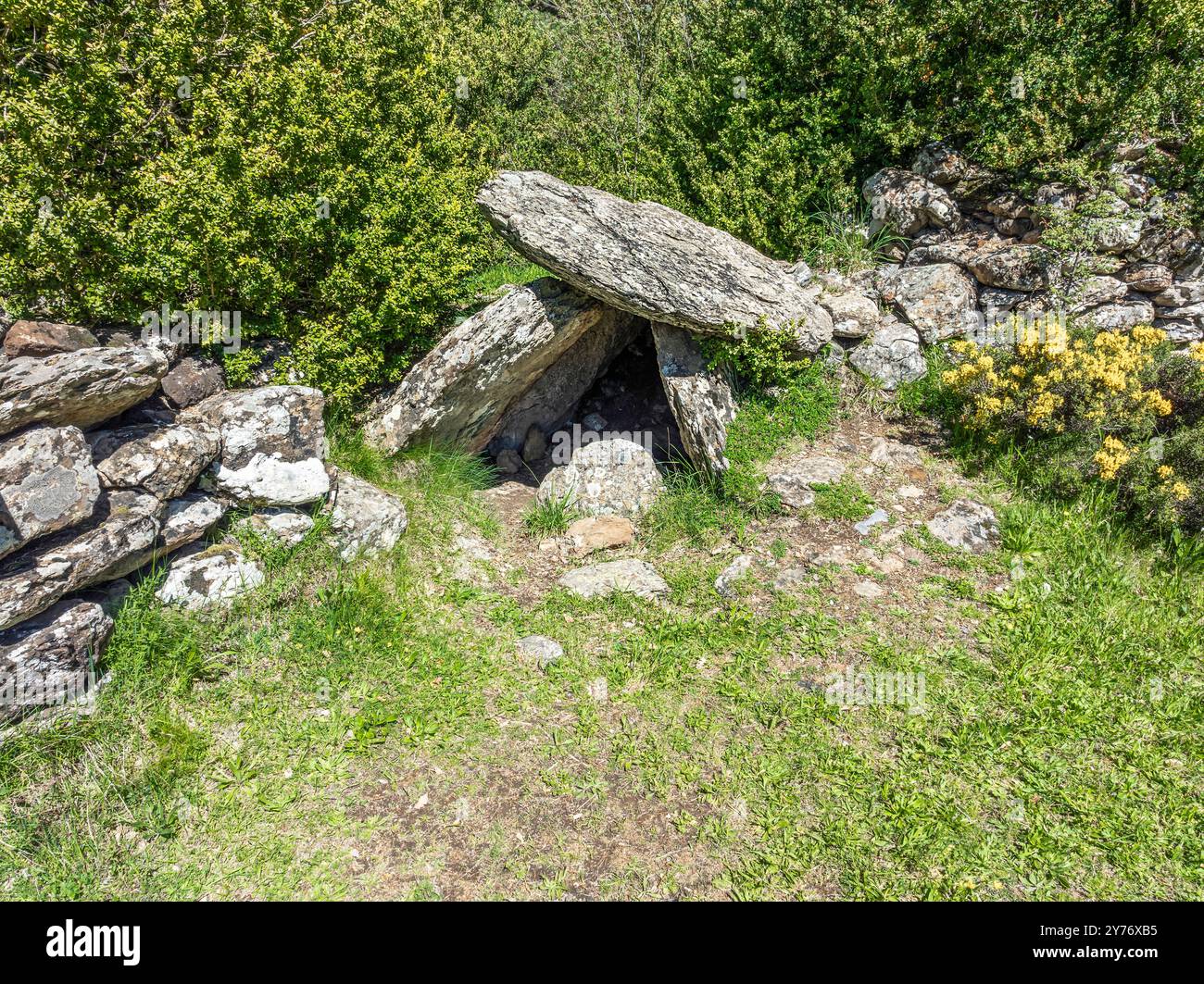 Megalithic structure in BunalunnMegalithic structure · 1.5 mi
 Lissangle Castle (Site of)Castle, unclassified · 2.7 mi
 Coolngrane Fairy FortFort · 2.9 mi
 Bishop MahonyMemorial · 3.8 mi
 Heritage CentreMuseum · 4.0 mi
 Wild Atlantic WayVisitor information · 4.3 mi
 Tober an IarainnSpring · 4.4 mi
 Moyny Bridge WalkWalking route · 4.4 mi
 Drimoleague Heritage Loop WalkWalking route · 4.5 mi