What is recorded here
Kilfaughny Castle stands on a low mound above a drained stream, its single upstanding wall reaching six metres before ivy swallows the top. The 1837 map showed a narrow rectangular building aligned NE-SW inside small fields, but time has reduced most of that shape to collapsed masonry and pasture. Whatever lived behind that wall has vanished, leaving only a featureless stone ribbon to mark the place where someone once watched the horizon.
Situated on the N side of a low mound, in gently undulating pasture, with good views in all directions. Kilfaughny Castle depicted on the 1837 ed. OS 6-inch map as a narrow rectangular shaped building aligned NE-SW standing inside a series of small rectangular shaped fields. Described in 1983 as the poorly preserved remains consisting of a single section of upstanding wall (approx. L 11m; H 6-7m) that appears to be featureless, although the upper sections are obscured by a heavy growth of ivy. There is a large block of collapsed masonry and a silage pit to E. A roughly rectangular-shaped enclosure occupies the top of the mound, to the immediate S of the upstanding castle wall. A stream flows E-W approx. 10m to N of the castle. This has recently been drained, and the excavated fill built up to form a low bank on the S side of the stream.
Compiled by: Alison McQueen, Vera Rahilly and Caimin O’Brien
Date of upload: 15 July 2019
The monument record does not grant public access. Check the route and ask the landowner before entering private land.
- What survives
- Recorded monument
Places near here
 Kilfaughny CastleCastle · 10 yd
 OutlinedFairy fort / earthen ringfort · 651 yd
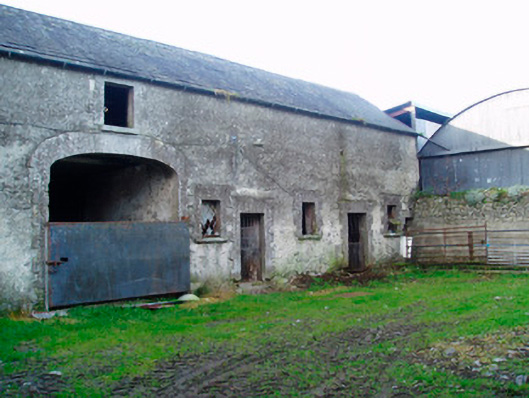 Lackan Lodgeoutbuilding · 942 yd
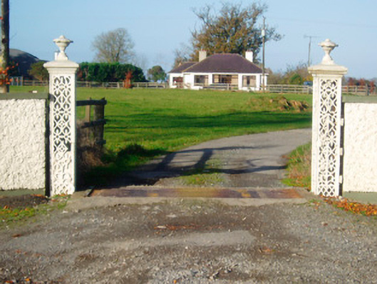 Lacken Lodgegates/railings/walls · 1124 yd
 Ballynakill CastleCastle · 1640 yd
 Partially outlinedFairy fort / earthen ringfort · 1661 yd
 Portlick Millennium ForestWood · 2.7 mi
 Killinure BayBay · 2.8 mi
 Traveen BayBay · 2.8 mi
 Leveret IslandIslet · 3.0 mi
 IllanheelanIslet · 3.1 mi
 Noughaval CemeteryArchaeological place · 3.5 mi