What is recorded here
Kileen Burial Grd. (Disused) is a children's burial ground in County Kerry, Ireland. The L-shaped ground holds uninscribed markers and a small central boulder beside a grass-covered mound. Local people call it the cillíneach and say it has not been used in living memory.
In pasture, on the W side of the valley of the Slaheny River. An unenclosed elevated area (10.5m SE-NW; 10m NE-SW; H 0.75m) with a projection (4m NE-SW; 3.5m NW-SE) on its NE side, giving it an L-shaped plan. The interior of the burial ground is stony while the perimeter consists mainly of earth with some stone. A small number of uninscribed upright grave-markers (H 0.3m) were noted in the interior. A small uninscribed boulder rests on the ground in the centre of the burial ground. A grass-covered mound (H 0.8m) is situated in the NE projection. The area is known locally as 'the cillíneach'. According to local information, the burial ground has not been used in living memory.
The above description is derived from the published 'Archaeological Inventory of County Kerry. Volume I: South-West Kerry' (Dublin: Stationery Office, 2009). In certain instances the entries have been revised and updated in the light of recent research.
Date of upload: 30 May 2011
Neolithic passage tomb, dating to approximately 3000–2500 BCE. Its L-shaped plan and elevated position suggest it was a significant ritual or burial site within a local prehistoric landscape.
The monument record does not grant public access. Check the route and ask the landowner before entering private land.
- What survives
- Recorded monument
Places near here
 IndicatedFairy fort / earthen ringfort · 437 yd
 Battle of Callannbattle · 567 yd
 Kilgarvan Motor MuseumMuseum · 918 yd
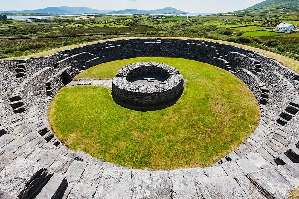 Cahergal Br.Bridge · 1059 yd
 SheepfoldsEnclosure · 1261 yd
 Great Southern & Western RailwayMemorial · 1468 yd
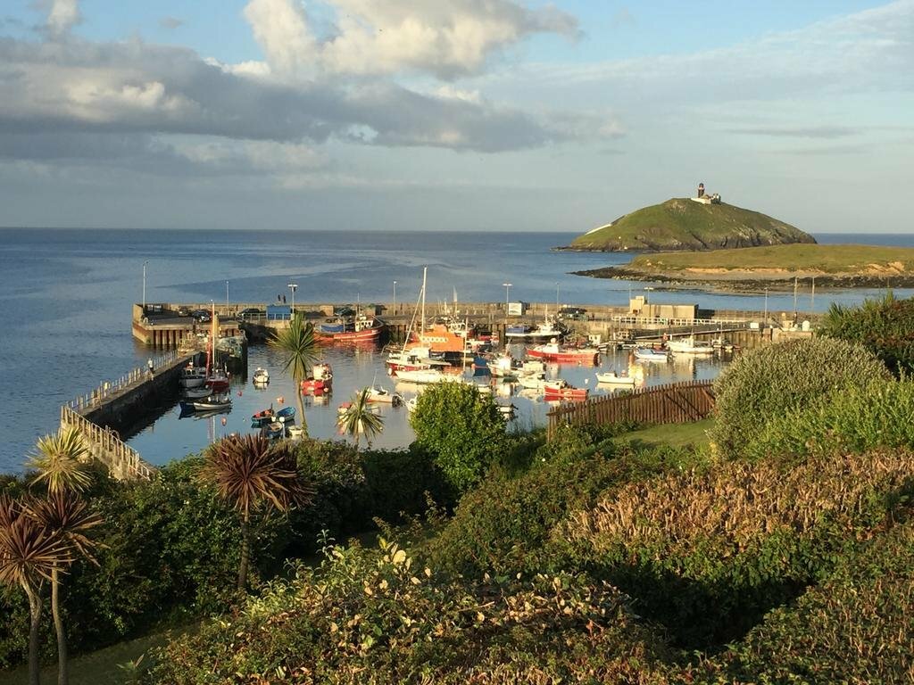 SunvilleCountry house · 1570 yd
 Castle (Site of)Castle, unclassified · 1.3 mi
 European YewEuropean Yew · 1.3 mi
 KnockbrackMountain / peak · 1.8 mi
 Bird HillMountain / peak · 2.1 mi
 Hidden Valley Pet FarmHeritage attraction · 3.3 mi