What is recorded here
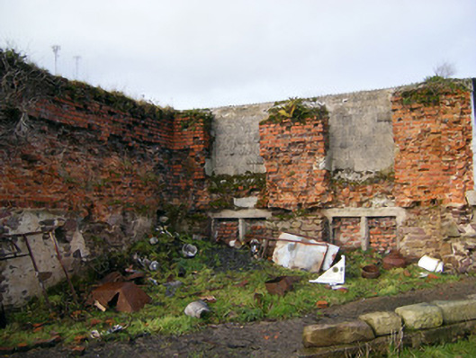
Situated immediately E of a public road and S of a deserted farmyard, on a S-facing slope in rolling pasture. Kilduffahoo graveyard consists of a sub-rectangular shaped area (c. 15m E-W; c. 25m N-S) covered by ground ivy, scrub and small woodland enclosed by low earthen bank. The E gable and part of the south wall of a ruined friary church (LI015-008001-) stands at N end of graveyard. A steep break in slope (H 0.5m, Wth 1.5m) of ground is visible at S end of graveyard. There are no gravemarkers or any sign of burials. According to Ordnance Survey letters this graveyard was used mainly as a children's burial ground. No visible remains of any inscribed memorials although the area is covered in scrub which may cover any such evidence.
Graveyard described in 1840 as following; 'This is the ruins of a Friary, about 60 feet [18.2m] long and 24 feet [7.3m] wide, with a portion of the walls 4 feet [1.2m] high. Attached to it is a small burial ground, on an eminence about 1 chain [20m] in diameter, used now chiefly for the interments of children' (OSNB, Doon parish, Book 2, 603).
Compiled by: Denis Power
Revised by: Caimin O'Brien
Date of revised upload: 31 October 2018
The monument record does not grant public access. Check the route and ask the landowner before entering private land.
- What survives
- Recorded monument
Places near here
 IndicatedChurch · 14 yd
 Fulacht fia in Cullenagh (owneybeg By.)Fulacht fia · 707 yd
 Mound in Cullenagh (owneybeg By.)Mound · 963 yd
 Bilboa Courtcountry house · 1.4 mi
 Slieve Felim WayWalking route · 1.9 mi
 Slieve FelimMountain / peak · 2.0 mi
 Slieve Felim East TopMountain / peak · 2.0 mi
 CastleCastle, unclassified · 2.4 mi
 Tower HillCastle, unclassified · 3.8 mi
 Sliev Felim WayVisitor information · 4.1 mi
 Graveyard in AbingtonGraveyard · 5.0 mi
 St. Patrick's WellSpring · 9.1 mi