
What is recorded here
Kildoney Glebe is a ruined stone ringfort on a low coastal ridge above the Erne estuary, its forty-metre circle reduced to scattered rubble and collapsed wall. It belongs to the old cashel tradition, where stone marked boundary, shelter or ceremony before human records arrived. The sea has taken much of its shape, but the ridge still holds the ghost of a made circle, waiting for someone to walk its lost line.
Internal diam. c. 40m. A subcircular area enclosed by a much collapsed stone wall. It is situated on a low ridge of rock near the sea N of the Erne estuary.
The above description was derived from the 'Archaeological Survey of County Donegal. A description of the field antiquities of the County from the Mesolithic Period to the 17th century.' Compiled by: Brian Lacey with Eamon Cody, Claire Cotter, Judy Cuppage, Noel Dunne, Vincent Hurley, Celie O'Rahilly, Paul Walsh and Seán Ó Nualláin (Lifford: Donegal County Council, 1983). In certain instances the entries have been revised and updated.
Date of upload: 22 September 2008
The monument record does not grant public access. Check the route and ask the landowner before entering private land.
- What survives
- Recorded monument
Places near here
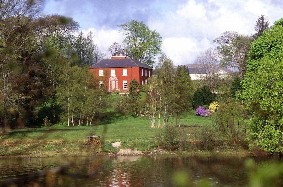 Former Eastern Kildoney Glebe EnclosureEnclosure · 440 yd
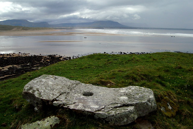 Kildoney Glebe Fairy FortFairy fort / earthen ringfort · 622 yd
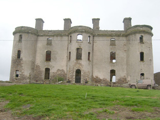 Wardstown Housecountry house · 931 yd
 bridgebridge · 1382 yd
 Wardtown StrandBeach / strand · 1462 yd
 Tullan StrandBeach / strand · 1.1 mi
 Dark Cliffs at KilbarronPublicly named cliff or headland · 1.1 mi
 Kilbarron Castle in ruinsCastle, tower house · 1.2 mi
 Kilbarron Old Church GraveyardGraveyard · 1.3 mi
 Cliffs by BundoranPublicly named cliff or headland · 1.9 mi
 Finner Old GraveyardGraveyard · 2.0 mi
 Fairy BrigesHeritage attraction · 2.1 mi
Other information
Photo: Credit not shown in the picture search · Rights wording not checked; contact us if this picture should be removed