
What is recorded here
Situated at a break in a marked SE-facing slope. Oval area (dims. 38m N-S; 35m E-W) defined by an earth and stone bank (Wth 3.3-5m; H 0.6-1.6m) with traces of a boulder revetment. A possible outer fosse (Wth 2.5m; D 0.5m) at the NW is masked by the field boundary. There are gaps at the SW (Wth 3m) and E (Wth 1.5m), the latter accessed by a ramp along the outer face of the bank. There are three house foundations in the interior. (A) In the NW quadrant, a sunken rectangle (dims. 10m NW-SE; 4m NE-SW; D 0.4m) edged with boulders; (B) in the SE quadrant, an angle formed by a step down into the ground (D 0.4m) marks the NW (L 3.5m) and NE (L 9m) sides of the house site with boulder edging along the NE side; (C) in the NE quadrant just N of the entrance, a low bank (H 0.4m) forming a semicircle set against the inner face of the fort bank (dims. 2.8m x 9m).
The above description is derived from the published 'Archaeological Inventory of County Wicklow' (Dublin: Stationery Office, 1997). In certain instances the entries have been revised and updated in the light of recent research.
Date of upload/revision: 17 December 2008
This monument is subject to a preservation order made under the National Monuments Acts 1930 to 2014 (PO no. 102/1940).
The monument record does not grant public access. Check the route and ask the landowner before entering private land.
- What survives
- Recorded monument
Places near here
 IndicatedEnclosure · 1.1 mi
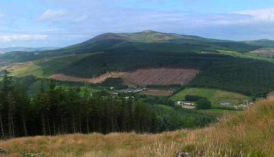 Mangan's WoodForest · 1.2 mi
 Raheen (Site of)Fairy fort / ringfort · 1.6 mi
 Springfield HouseRuins · 1.7 mi
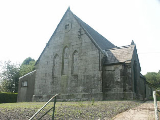 Tinahely Methodist Churchchurch/chapel · 1.7 mi
 Ballycumber HillMountain / peak · 2.1 mi
 Luke O'Toole MemorialMemorial · 2.4 mi
 Clonmore MoatCastle, motte and bailey · 2.9 mi
 Sweet ChestnutSweet Chestnut · 3.1 mi
 1798 Lacey Brothers MemorialMemorial · 3.2 mi
 Ballynultagh HillMountain / peak · 3.3 mi
 Clonmore Castle (in Ruins)Castle, Anglo-Norman masonry castle · 3.3 mi
Other information
Photo: Credit not shown in the picture search · Rights wording not checked; contact us if this picture should be removed