What is recorded here
Situated on a gentle NW-facing slope. Circular enclosure (diam. 30m) defined by a compact drystone wall (Wth 2m; H 0.8-1.5m) with larger stones forming a basal revetment, very similar to the surrounding field boundaries. No indication of an external fosse, entrance or internal features. The W portion has been removed.
From the National Monuments Service (Archaeological Survey of Ireland) record WI038-012
This remains an important historical record, but the official description says the monument is no longer visible or has been destroyed. The monument record does not grant public access. Check the route and ask the landowner before entering private land.
- What survives
- No visible remains or recorded as destroyed
Places near here
Photo credits
- National Inventory of Architectural Heritage
- Maker named on the Wikimedia Commons picture page · CC BY-SA 2.5
- Miguel Angel Masegosa Martínez, Wikimedia Commons · CC BY 2.0
- liam murphy, Wikimedia Commons · CC BY-SA 2.0
- Jonathan Billinger, Geograph · CC BY-SA 2.0
- N Chadwick, Geograph · CC BY-SA 2.0
- N Chadwick, Geograph · Creative Commons Attribution-ShareAlike 2.0
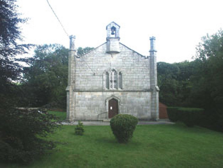 Mullinacuff ChurchChurch/chapel · 1.1 mi
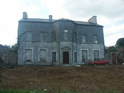 Ballyraheen HouseCountry house · 1.8 mi
 Sessile Oak2.0 mi
 Sweet Chestnut2.1 miBallynultagh HillMountain / peak · 2.2 miClonmore MoatCastle, motte and bailey · 2.8 mi
 Clonmore Castle (in Ruins)Castle, Anglo-Norman masonry castle · 3.2 miLuke O'Toole MemorialMemorial · 3.4 mi
 Eagle HillMountain / peak · 4.0 mi1798 Lacey Brothers MemorialMemorial · 4.0 mi
 Cross-slab in Aghowle Lower (shillelagh By.)Cross-slab · 5.2 mi
 Graveyard5.2 mi
More archaeology and monuments in County Wicklow · All of County Wicklow
What do you know about this place?