What is recorded here
Described as Kilcorkey Grave Yard on the 1839 ed. of the OS 6-inch map and as Kilcorkey Burial Ground on the 1940 ed. of the map. It is situated towards the bottom of the NE-facing slope of Ballyconran Hill. This is a subcircular, grass-covered area (dims 40m E–W; 37m N–S) defined by an earthen bank (Wth 2m; int. H 0.4-0.6m; ext. H 0.7-1.5m) with external stone cladding. There are some eighteenth- and nineteenth-century graves in the interior but there is no indication of a church.
The above description is derived from the published 'Archaeological Inventory of County Wexford' (Dublin: Stationery Office, 1996). In certain instances the entries have been revised and updated in the light of recent research.
Compiled by: Michael Moore
Date of upload/revision: 1 March 2012
The monument record does not grant public access. Check the route and ask the landowner before entering private land.
- What survives
- Recorded monument
Places near here
 Mass RockMass-rock · 445 yd
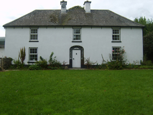 farm housefarm house · 672 yd
 Corn MillMill, unclassified · 943 yd
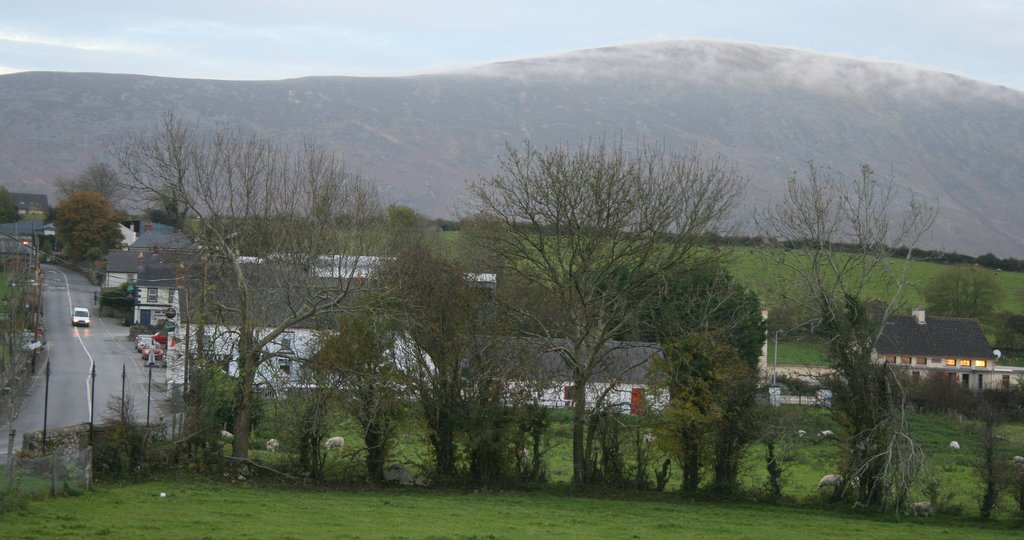 IndicatedFairy fort / ringfort · 1169 yd
 Craan HillMountain / peak · 1.0 mi
 Kilmichael HillMountain / peak · 1.7 mi
 Saint Brigid's WellSpring · 1.8 mi
 Mountnebo WoodForest · 2.0 mi
 Blue SchoolMemorial · 3.1 mi
 Ballingarry WoodForest · 3.3 mi
 1798 MonumentMemorial · 5.2 mi
 CastleCastle, motte · 5.4 mi