
What is recorded here
Marked only on the 1940 ed. of the OS 6-inch map, and situated in a scrub-covered fold on the steep N-facing slope of a deep W-E valley. There is a small arm-chair arrangement of stones and bedrock creating a shelf (Wth 0.8m; D 0.7m) which was known locally as a place where Mass was celebrated (OSFM 1940).
The above description is derived from the published 'Archaeological Inventory of County Wexford' (Dublin: Stationery Office, 1996). In certain instances the entries have been revised and updated in the light of recent research.
Compiled by: Michael Moore
Date of upload/revision: 21 November, 2012
A Mass Rock used clandestinely during the Penal Times when Catholic worship was suppressed; such sites were vital for holding secret religious services. The stone arrangement reflects a tradition of holding Mass in hidden locations to avoid persecution.
The monument record does not grant public access. Check the route and ask the landowner before entering private land.
- What survives
- Recorded monument
Places near here
 Corn MillMill, unclassified · 845 yd
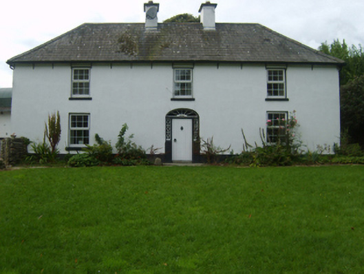 farm housefarm house · 1099 yd
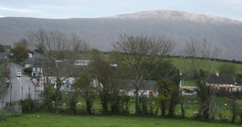 IndicatedFairy fort / ringfort · 1209 yd
 Ritual siteRitual site, pond · 1756 yd
 Craan HillMountain / peak · 1.2 mi
 Kilmichael HillMountain / peak · 1.8 mi
 Saint Brigid's WellSpring · 1.8 mi
 Mountnebo WoodForest · 2.1 mi
 Blue SchoolMemorial · 3.1 mi
 Ballingarry WoodForest · 3.5 mi
 1798 MemorialMemorial · 5.0 mi
 CastleCastle, motte · 5.3 mi
Other information
Photo: Credit not shown in the picture search · Rights wording not checked; contact us if this picture should be removed