What is recorded here
Kilconnell Children’s Burial Ground is a small, wet, overgrown rectangle on a Clare pasture slope, marked on maps from 1842 and still listed as a burial ground today. Its low bank, faint southern ditch, scattered boulders and two grave slabs suggest a place set apart for the youngest dead, perhaps chosen because the ground was already soft, shadowed and near a vanished stream. The name itself does the work: children, not adults; a separate threshold where love and loss were handled together.
On a wet, partly overgrown S-facing slope in pasture, with a relict stream bed running NNW-SSE immediately to the W. Hachured and named ‘Kilconnell Burial Ground’ on the first edition (1842) of the OS 6-inch map, but named ‘Kilconnell Children’s Burial Ground’ on the OS 25-inch plan (1897) and Cassini edition (1920) of the OS 6-inch map. Listed as ‘Burial ground’ in the RMP (1996). This subrectangular children’s burial ground (27.6m E-W; 12.6m N-S) is defined by a low bank (Wth 1-2m; int. H 0-0.1m; ext. H 0.25m) outside of which along the S a faint band of rushes suggests the presence of an outer fosse. The partly overgrown interior slopes gently to the S and contains many boulders but some grave-markers are visible in the SW quadrant. The interior also contains two graveslabs (L 1.04m; 0.56m).
Compiled by: Gearóid Conroy and Conn Herriott
Date of upload: 3-10-2025
The monument record does not grant public access. Check the route and ask the landowner before entering private land.
- What survives
- Recorded monument
Places near here
 Kilconnell Children's Burial GroundArchaeological place · 5 yd
 IndicatedFairy fort / earthen ringfort · 619 yd
 CastleCastle, unclassified · 819 yd
 Sightseeing Cliffs of Moher SouthViewpoint · 1571 yd
 Moher TowerRuins · 1660 yd
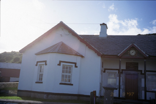 Saint Bridget's National Schoolschool · 1.3 mi
 Bridget's Well;St Bridget's WellSpring · 1.5 mi
 Cliffs of MoherCliff · 1.6 mi
 John P. Holland CentreMuseum · 2.4 mi
 Liscannor Castle (in Ruins)Castle, tower house · 2.4 mi
 Cliffs of Moher Visitor CentreVisitor information · 2.5 mi
 Sea StackMountain / peak · 2.6 mi