What is recorded here
Kilchulla Grave Yard for Children occupies a steep woodland slope in County Clare where low moss-covered stones still mark the resting places of infants. Curry named the little burying place in 1839, preserving its identity long before surveyors drew its oval boundary. The absent fences and scattered beech trees suggest a community that trusted the land itself to remember what it lost.
On a relatively steep SE-facing slope, in mixed woodland, at the edge of improved pasture. Described by Curry in 1839 as ‘a little burying place for children called Kill-Chuill…this place is better known as Cill-Baile-Ui-Oir’ (OSL, vol. 2, 281). Depicted as an oval area named ‘Kilchulla Burial Ground for Children’ on the OS 25-inch and 1921 OS 6-inch map. A roughly oval area (c. 13m NE-SW; c. 8m NW-SE) which is respected by a tree-lined field boundary to SE. There are no enclosing elements, however the area is defined by numerous low, moss-covered stones protruding above the present ground level. The surface of the slope is uneven and the low stones, which are assumed to be gravemarkers, are scattered around intermittently amongst occasional beech, ash and thorn trees. There is no trace of the burial ground in the field to SE, where there is a distinct plateau. A holy well (CL035-020002-) is located within to SE, close to the field boundary.
The following image has been uploaded:
CL035-020001-_01.jpg From NE. General view of Children’s Burial Ground.
Compiled by: Mary Tunney, Alison McQueen and Vera Rahilly
Date of upload: 13 December 2017
A medieval Christian burial site, likely associated with a small chapel or settlement. Its name and context suggest local ecclesiastical or community significance in the pre-modern period.
This remains an important historical record, but the official description says the monument is no longer visible or has been destroyed. The monument record does not grant public access. Check the route and ask the landowner before entering private land.
- What survives
- No visible remains or recorded as destroyed
Places near here
 Enclosure in BunavoryEnclosure · 739 yd
 Bunavory Castle (in ruins)Castle, unclassified · 930 yd
 Enclosure in Tulla (tulla Upper By.),bunavoryEnclosure · 1051 yd
 The StablesGallery · 1311 yd
 Saint Mochulla's Church (Tulla)graveyard/cemetery · 1323 yd
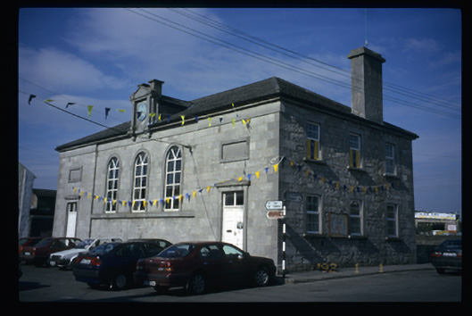 Tulla Courthousecourt house · 1407 yd
 Tulla Castle (Site of)Castle, unclassified · 1577 yd
 Cloghleagh RockNamed rock · 3.4 mi
 Derrymore WoodWood · 4.4 mi
 The RingfortHeritage attraction · 4.6 mi
 Deerpark WoodForest · 6.4 mi
 LisfeeanFairy fort / earthen ringfort · 1287 yd