What is recorded here
On S side of Inis Mór on a level terrace overlooked by higher ground to NW and SW. Known locally as Cill Charna. What survives are the foundation lines and lower courses of a drystone building (E-W; L 11.8m, Wth 5m) with a possible internal dividing wall at W end. No architectural features survive, but it may have been a church. An arc of grassed-over stone lies to SE which, if its line were projected, would enclose the building. The 2nd ed. of OS 6-inch map (1899) marks two burial grounds to W and S, of which no remains are visible. A holy well (GA110-159002-) stands immediately to ENE. A large recumbent stone, lying 35m to S, may be the cross-inscribed pillar described in OS Letters, but noted as lost by Crawford (1913, 155). (O'Flanagan 1927a, Vol. 3, 396; 1886, 493; Robinson 1980)
The above description is derived from the published 'Archaeological Inventory of County Galway Vol. I - West Galway'. Compiled by Paul Gosling (Dublin: Stationery Office, 1993).
Date of upload: 05 August 2010
The monument record does not grant public access. Check the route and ask the landowner before entering private land.
- What survives
- Recorded monument
Places near here
 Holy Well (now dry)Holy well · 6 yd
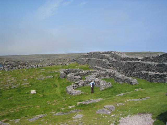 DoocaherPromontory fort, coastal · 1231 yd
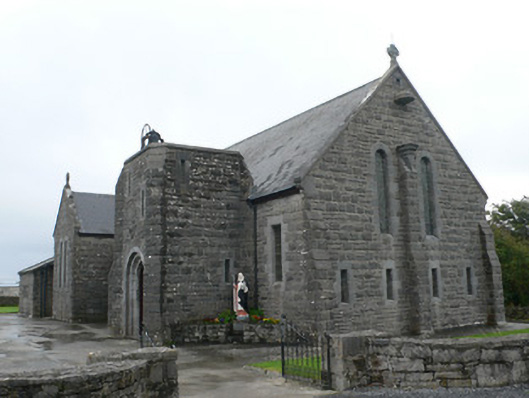 Seipéal Bríd agus Oilibhéir Pluincéid Naomhthachurch/chapel · 1494 yd
 Scoil Náisiúnta Cill Éinneschool · 1540 yd
 Dún EochlaHeritage attraction · 1728 yd
 Leaba Naomh RónáinHeritage attraction · 1.1 mi
 Arkin's CastleCastle · 1.3 mi
 Trá na mBuailte (Beach of the Booly)Beach / strand · 1.4 mi
 An CharcairMountain / peak · 1.4 mi
 ÁrainnIsland · 1.7 mi
 Seal Colony LookoutViewpoint · 1.9 mi
 Oileán na TuíIslet · 2.5 mi