
What is recorded here
To NE of and below limestone bluff upon which Dún Eoghanachta (GA110-020----) stands. This Nat. Mon., known locally as Cill Comhla, consists of a low, partially destroyed early ecclesiastical enclosure wall (GA110-019007-), at present U-shaped on plan (60m by 44m). There is a broken slab shrine (GA110-019001-) (E-W; L c. 2m, Wth c. 1.35m) in SW sector with triangular W gable-stone, and a possible enclosing kerb just outside it on NW. Three possible clochans (GA110-019004-, GA110-019005-, GA110-019006-) and other indistinct foundation lines (GA110-019002-, GA110-019003-, GA110-019008-) are also visible. (Waddell 1976, 86-8; O'Flanagan 1927a, Vol. 3, 229; Robinson 1980)
The above description is derived from the published 'Archaeological Inventory of County Galway Vol. I - West Galway'. Compiled by Paul Gosling (Dublin: Stationery Office, 1993). In certain instances the entries have been revised and updated in the light of recent research.
Updated by: Olive Alcock
Date of revised upload: 25 February 2016
The monument was taken into Ownership under the National Monuments Acts 1930 to 2014 - National Monument 43.
The monument record does not grant public access. Check the route and ask the landowner before entering private land.
- What survives
- Recorded monument
Places near here
 Dun OnaghtFairy fort / stone ringfort · 105 yd
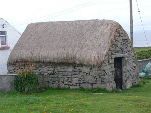 outbuildingoutbuilding · 503 yd
 monumentmonument · 515 yd
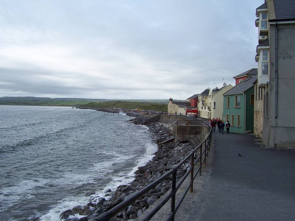 Leacht cuimhne in EoghanachtLeacht cuimhne · 525 yd
 Castle (in ruins)Castle, unclassified · 896 yd
 Teampal MacDuaghHeritage attraction · 1665 yd
 Kilmurvey BeachBeach / strand · 1723 yd
 ÁrainnIsland · 2.3 mi
 Seal Colony LookoutViewpoint · 2.6 mi
 An CharcairMountain / peak · 2.8 mi
 An tOileán ThiarIslet · 3.0 mi
 Trá na mBuailte (Beach of the Booly)Beach / strand · 4.4 mi
Other information
Photo: Credit not shown in the picture search · Rights wording not checked; contact us if this picture should be removed