What is recorded here
Places near here
Photo credits
- Maker not stated on source page, www.dreamstime.com
- Eric Jones, Geograph · CC BY-SA 2.0
- Maker not stated on source page, www.buildingscience.com
- Maker not stated on source page, www.irishexaminer.com
- Eric Jones, commons.wikimedia.org
- Dean Molyneaux, Geograph · CC BY-SA 2.0
 Enclosure in Guns IslandEnclosure · 1.2 mi
Explorer Tom Enclosure in Guns Island survived a storm so bad it claimed it ate the clouds for breakfast. It’s been full of itself…
 Guns IslandIslet · 1.2 mi
Explorer Tom Guns Island in County Down has the local sheep convinced that it's actually a fortress built specifically for them…
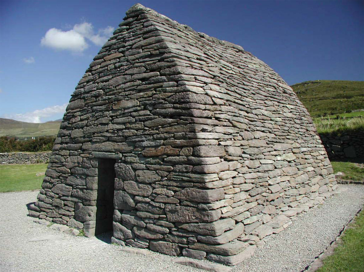 Enclosure/Building in Guns IslandEnclosure/Building · 1.3 mi
Explorer Tom Enclosure/Building in Guns Island got into a massive feud with the next village over who had the ugliest fence. It won…
 Sandy IslandIslet · 1.5 mi
Explorer Tom Sandy Island has developed a deep suspicion of the postman, convinced he’s delivering letters to ghosts from the last…
 Ballyhornan Picnic SitePicnic place · 1.8 mi
Explorer Tom Ballyhornan Picnic Site is surrounded by sheep who have very strong opinions about which side of the fence you should…
 Sheepland Harbour PathWalking route · 2.0 mi
Explorer Tom Sheepland Harbour Path features sheep who have strong opinions about where you’re supposed to be walking at any given…
 Church: dunsford in DunsfortChurch: Dunsford · 2.7 mi
Explorer Tom Dunsford Church in Dunsfort is guarded by a superstition involving left shoes and bad luck. I didn't wear any, so I'm…
 Ardtole Park, Ardglass GAAGAA ground · 2.8 mi
 Church (in ruins) & graveyard: ardtole church; st.nicholas' in ArdtoleChurch (in ruins) & Graveyard: Ardtole Church · 3.0 mi
Explorer Tom Ardtole Church and graveyard in Ardtole is tired of people asking who killed everyone, but locals blame the McCartans.…
 Ardtole ChurchVisitor information · 3.0 mi
Explorer Tom Ardtole Church makes a strange humming sound at night that sounds exactly like someone trying to sing opera with a cold…
 Tower-house; Merchants Stores; C18th Castle: Horn Castle or Newark or Ardglass Castle in ArdglassTower-house · 3.4 mi
Explorer Tom Horn Castle in Ardglass has three names because nobody could agree on what it actually is. It's part castle, part…
 Cowd CastleArchaeological place · 3.5 mi
Explorer Tom Cowd Castle is sitting in the middle of a golf course, which makes me think the balls are actually its way of…
More wrecks and historic events in County Down · All of County Down

What do you know about this place?Tap to add a comment or ask a question