What is recorded here
Situated on a slight rise in a low-lying landscape, with a N-S stream just to the E. A church (WX002-024001-) is associated with a graveyard marked on the 1839 ed. of the OS 6-inch map, but there is no evidence of burial around the cairn of the church within the ecclesiastical enclosure (WX002-024003-).
Compiled by: Michael Moore
date of upload: 27 January, 2012
The monument record does not grant public access. Check the route and ask the landowner before entering private land.
- What survives
- Recorded monument
Places near here
 Kilbride Grave YardChurch · 1 yd
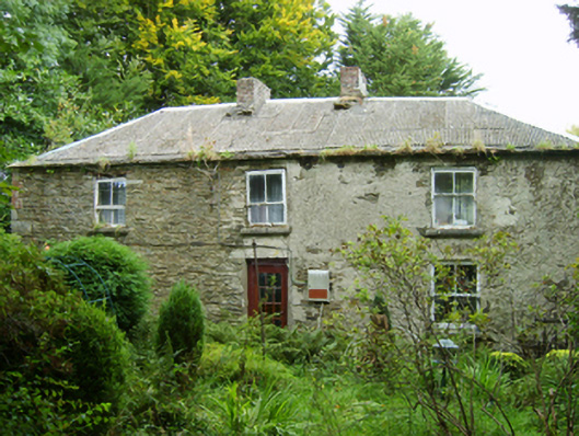 farm housefarm house · 847 yd
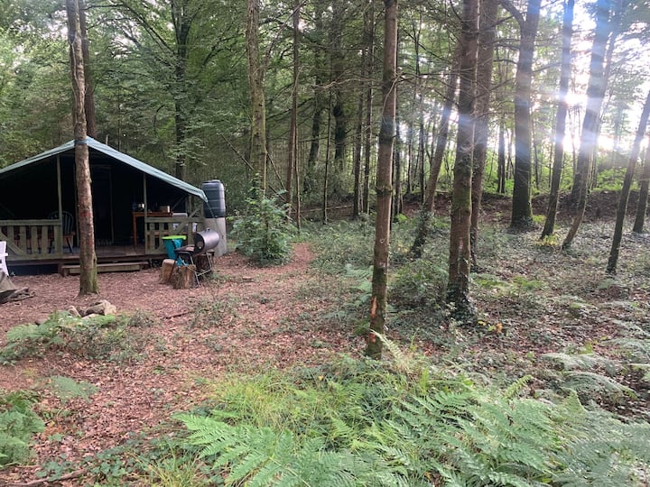 Embanked enclosureFairy fort / ringfort · 1246 yd
 Mountnebo WoodForest · 1.3 mi
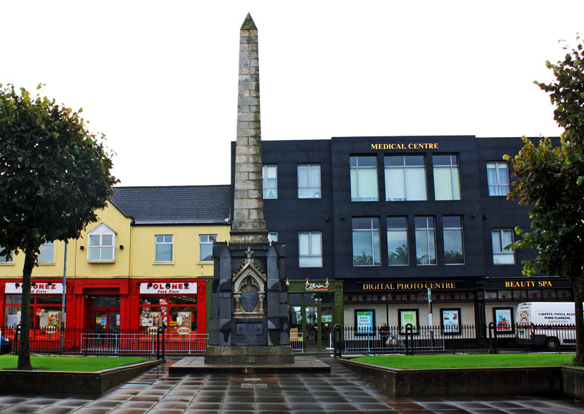 IndicatedFairy fort / earthen ringfort · 1.4 mi
 Kilmichael HillMountain / peak · 1.4 mi
 Annagh HillMountain / peak · 1.6 mi
 Ballingarry WoodForest · 2.4 mi
 CastleCastle, motte · 2.9 mi
 1798 MemorialMemorial · 3.5 mi
 Saint Brigid's WellSpring · 4.2 mi
 1798 MonumentMemorial · 4.8 mi