What is recorded here
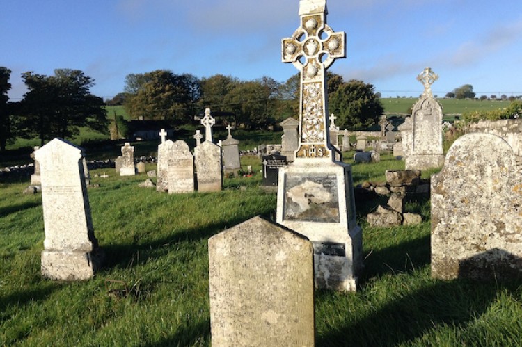
The parish church of Kilbride (RO035-042001-), situated on rock outcrop towards the bottom of an E-facing slope, is within a circular graveyard (diam. c. 50m) defined by a drystone wall, and contains a round-headed window head (RO035-042004-). There are shallow quarries outside it N-E-S.
Compiled by: Michael Moore
Date of upload: 24 August 2010
The monument record does not grant public access. Check the route and ask the landowner before entering private land.
- What survives
- Recorded monument
Places near here
 AbbeyChurch · 19 yd
 Settlement cluster in BallinderrySettlement cluster · 89 yd
 Man-made underground passage in BallinderryMan-made underground passage · 228 yd
 Leitrim CastleCastle, unclassified · 1.2 mi
 Grange AbbeyChurch · 2.6 mi
 CastleCastle, unclassified · 2.9 mi
 Slieve BawnMountain / peak · 4.5 mi
 Roscommon CastleCastle · 4.6 mi
 Doughill ForestForest · 4.8 mi
 Common LimeCommon Lime · 6.0 mi
 FerrinchIslet · 6.8 mi
 Ballyclare IslandIslet · 7.4 mi