
What is recorded here
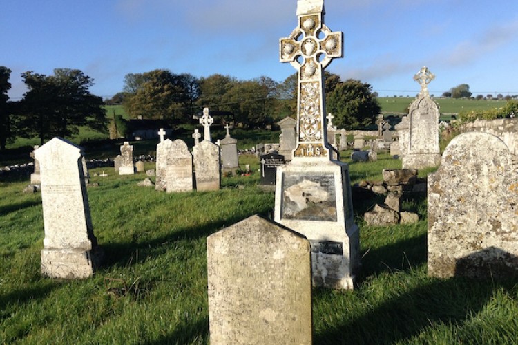
The parish church of Kilbride (RO035-042001-), situated on rock outcrop towards the bottom of an E-facing slope. There are quarries outside the graveyard (RO035-042002-) N-E-S, but some relict field walls (L c. 50m) approach the graveyard at SW and W. The settlement of Kilbready, represented on the Strafford map of 1636 (Simington 1949, map B) would be in the vicinity of the church and elements of it may survive in an area of about 15 acres (c. 6ha) amongst the quarries.
Compiled by: Michael Moore
Date of upload: 24 August 2010
The monument record does not grant public access. Check the route and ask the landowner before entering private land.
- What survives
- Recorded monument
Places near here
 AbbeyChurch · 76 yd
 Man-made underground passage in BallinderryMan-made underground passage · 268 yd
 Embanked enclosureFairy fort / earthen ringfort · 595 yd
 Leitrim CastleCastle, unclassified · 1.2 mi
 Grange AbbeyChurch · 2.7 mi
 CastleCastle, unclassified · 2.9 mi
 Slieve BawnMountain / peak · 4.4 mi
 Roscommon CastleCastle · 4.6 mi
 Doughill ForestForest · 4.8 mi
 Common LimeCommon Lime · 5.9 mi
 FerrinchIslet · 6.7 mi
 Ballyclare IslandIslet · 7.4 mi
Other information
Photo: Credit not shown in the picture search · Rights wording not checked; contact us if this picture should be removed