What is recorded here
No wall or gate marks the Kilbane burial ground, yet the earth beneath the grass still holds the bones and markers people found in earlier years. The field may have worn the shape of a small square, narrow enough to walk across in a minute, before the bank that defined it softened into ordinary ground. What is buried there is no longer written on the surface, but the land remembers the shape of the loss even when the names have gone.
A field known as Kilbane burial ground. There is now no surface indication of its nature. Bones and gravemarkers are said to have been found here in the past (DRS); located on grassland with rougher land nearby. This possible burial ground or field known locally as 'Kilbane' appears to have consisted of a square-shaped area (dims. 19m x 18.5m) defined by a poorly preserved earthen bank. On the first edition of the Ordnance Survey 6-inch map this square-shaped area does not exist and this field along with the adjoining field to the E is shown as a D-shaped area which may have been the enclosing element of the graveyard known locally as 'Kilbane'.
The above description was derived from the 'Archaeological Survey of County Donegal. A description of the field antiquities of the County from the Mesolithic Period to the 17th century.' Compiled by: Brian Lacey with Eamon Cody, Claire Cotter, Judy Cuppage, Noel Dunne, Vincent Hurley, Celie O'Rahilly, Paul Walsh and Seán Ó Nualláin (Lifford: Donegal County Council, 1983). In certain instances the entries have been revised and updated.
Compiled by: Caimin O'Brien
Date of upload/revision: : 01 July 2010
The monument record does not grant public access. Check the route and ask the landowner before entering private land.
- What survives
- Recorded monument
Places near here
 TraloarBeach / strand · 165 yd
 Mass-rock in Mucros (tc An Leargaidh Mhór)Mass-rock · 215 yd
 TrabaneBeach / strand · 482 yd
 CroaghmuckrosMountain / peak · 586 yd
 Muckross Head Promontory FortPromontory fort, coastal · 1145 yd
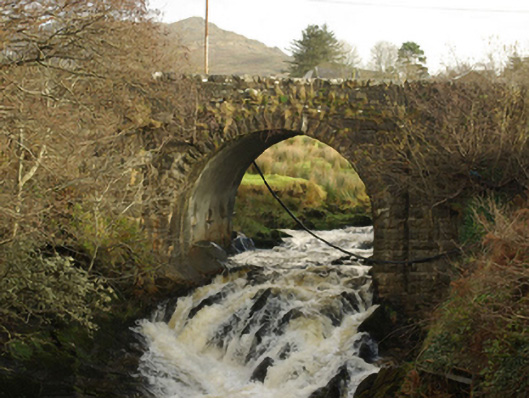 Droichead Droim na Fiongailebridge · 1.0 mi
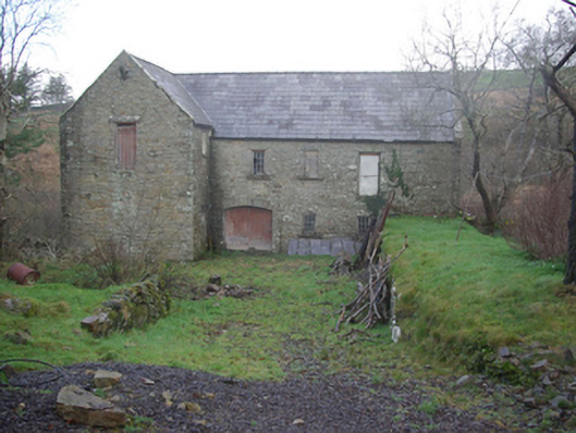 Muileann Arbhair Leitirmill (water) · 1.1 mi
 Dundawoona Point / Pointe an DúinHeadland · 1.6 mi
 CastleCastle, unclassified · 1.9 mi
 Cliffs at TeelinPublicly named cliff or headland · 2.0 mi
 CrownaradMountain / peak · 4.2 mi
 International Appalachian Trail Ulster-IrelandWalking route · 4.6 mi