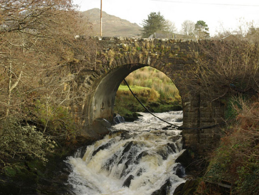
What is recorded here
Single-arched bridge carrying road over the Glenaddragh River, built c. 1860 and possibly incorporating fabric from an earlier bridge to site. Round-headed arch with rock-faced voussoirs to arch having dressed margins. Coursed dressed and squared rubble stone masonry to spandrels. Rubble stone parapets, repaired in places, having rock-faced stone coping over. Arch flanked to either side by projecting coursed rock-faced stone buttresses. Located in the rural landscape to the east of Cill Chartha/Kilcar.
This fine bridge retains its early character and form, and is an appealing feature in the rural landscape to the east of Cill Chartha/Kilcar. Of particular note is the tall round-headed arch that has an appealing simple elegance, and is of some technical merit. This bridge is robustly-constructed in good quality squared local rubble stone masonry, and its continued survival and use stands as testament to the quality of its original construction, and of the skill of the masons involved. This bridge is depicted on the Ordnance Survey first edition six-inch map of the area, c. 1836. However, the good-quality rock-faced voussoirs to the arches and the projecting buttresses flanking the arch are features found at the many bridges that were built or altered by the Board of Works during the mid-to-late nineteenth century, and particularly between c. 1847 - 60, suggesting that this bridge may have been built or altered around this time. This appealing rustic bridge is an attractive feature in the landscape to the east of Cill Chartha/Kilcar, and is an integral element of the built heritage of the local area.
This does not grant access. Most recorded buildings are privately owned; view them only from public ground unless the owner allows entry.
Places near here
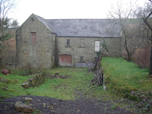 Muileann Arbhair Leitirmill (water) · 309 yd
 water pumpwater pump · 340 yd
 CroaghmuckrosMountain / peak · 1189 yd
 Caiseal Charna Stone Ringfort near the Spanish ChurchFairy fort / stone ringfort · 1255 yd
 Leacht in Caiseal CharnaLeacht · 1308 yd
 TraloarBeach / strand · 1.0 mi
 CastleCastle, unclassified · 1.1 mi
 TrabaneBeach / strand · 1.2 mi
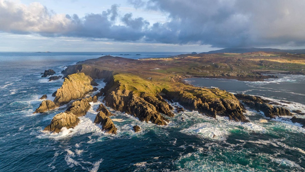
 Dundawoona Point / Pointe an DúinHeadland · 1.9 mi
 Cliffs at TeelinPublicly named cliff or headland · 2.2 mi
 CrownaradMountain / peak · 3.5 mi
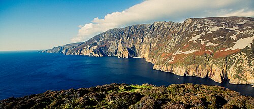 Slieve LeagueViewpoint · 4.3 mi
Other information
Photo: National Inventory of Architectural Heritage · Website use allowed for educational or private purposes with source credit