What is recorded here
Situated at the crest of a SW-facing slope, in an abandoned haggard. There are two arcs of kerbstones, both disturbed. The W arc (C 2.5m) has four stones, each set with its long axis on the circumference (max. H 0.4m), and is open to E. The E arc (C 2.4m) has four stones (max. H 0.25m), is open to SW and has extraneous stones. They may be corn stands.
The above description is derived from the published 'Archaeological Inventory of County Waterford' (Dublin: Stationery Office, 1999). In certain instances the entries have been revised and updated in the light of recent research.
Compiled by: Michael Moore.
Date of upload: 20th May, 2011.
The monument record does not grant public access. Check the route and ask the landowner before entering private land.
- What survives
- Recorded monument
Places near here
 Ballinageeragh DolmenArchaeological place · 707 yd
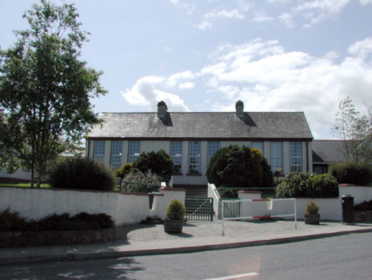 Dunhill National SchoolOfficially recorded historic building · 1313 yd
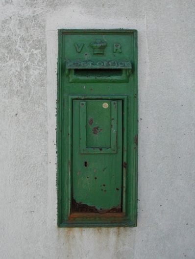 post boxpost box · 1370 yd
 Font (present location) in DunhillFont (present location) · 1454 yd
 St. Martin's WellSpring · 1.7 mi
 Castle (in ruins)Castle, tower house · 1.8 mi
 Dunhill CastleCastle · 1.8 mi
 Fenor BogNature reserve · 2.3 mi
 Ballyscanlon HillMountain / peak · 2.4 mi
 Annestown monumentMemorial · 2.5 mi
 St. Bernard's WellSpring · 2.8 mi
 Lime KilnVisitor information · 3.0 mi