
What is recorded here
Island Taggart is a one-mile islet in Strangford Lough where ten thousand year old flint tools still lie scattered beside ruined stone kelp kilns and forgotten farming walls. The National Trust acquired it in 1985, pulling it back from private neglect and exposing a layered human life that stretched from Mesolithic foragers to colonial settlers. It is not a polished museum or a postcard island. It is a drowned-edge archive, still wet, still sharp, still waiting for people willing to walk its broken lines and listen.
Island Taggart is recorded as a islet in County Down. Its open map record supplies this location and any linked names or public references.
Island Taggart is a small islet located in the Ards Peninsula area of County Down, Northern Ireland. It is notable for its historical association with local maritime records and its mention in early maps, reflecting the region's long-standing connection to coastal navigation and settlement.
Places near here
 Long PointHeadland · 1385 yd
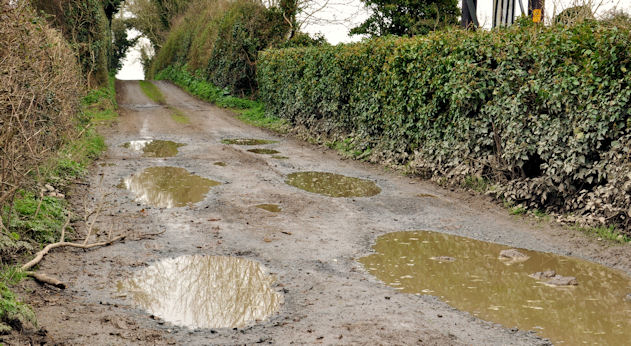 Net Walk & Shore LoneyWalking route · 1697 yd
 Dunnyneill IslandsIsland · 1728 yd
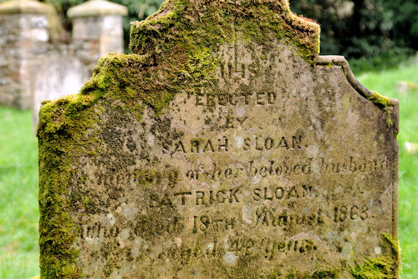 KILLOWEN MEDIEVAL CHURCH (ruined) and GRAVEYARD; with 2 CROSS-CARVED STONES in Corporation (killyleagh)KILLOWEN MEDIEVAL CHURCH (ruined) and GRAVEYARD; with 2 CROSS-CARVED STONES · 1.1 mi
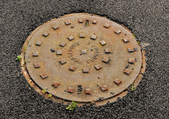 ShrigleyVisitor information · 1.1 mi
 CASTLE, possibly Tower-House in RingdufferinCASTLE, possibly Tower-House · 1.2 mi
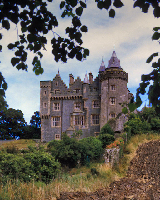 KILLYLEAGH CASTLEKILLYLEAGH CASTLE, multiperiod castle on site of Motte · 1.3 mi
 Dufferin ArmsPublic House · 1.3 mi
 Killyleagh Parish ChurchChurch · 1.3 mi
 North PointHeadland · 1.5 mi
 Green IslandIslet · 2.2 mi
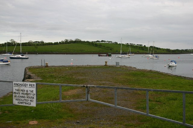 STONE QUAY in RinghaddySTONE QUAY · 2.3 mi
Other information
Photo: Rossographer · CC BY-SA 2.0