What is recorded here
Inscribed stone (present location) in Ballyteige North, a large, flattish boulder, appeared on the Hill of Allen in 1961 before moving outside Ballyteague Castle, where it displayed a compass-drawn palmette design. It has since vanished from that doorway, denying people the chance to trace the sharp lines or wonder whether the marking was human, divine, or merely a game played by stone itself.
According to Rynne (SMR File, 1962) this is, 'a large, flattish boulder (limestone?)' apparently found on the Hill of Allen in 1961, which was moved to outside the doorway of Ballyteague Castle (KD013-020001-), owned by Mr. Hendry. Rynne's sketch shows an apparently compass-drawn palmette-style design. The stone is no longer outside the castle.
Compiled by: Gearóid Conroy
Date of upload: 10 June 2011
Dated to the early medieval period, the inscribed stone may have originally served a ceremonial or commemorative function. Its relocation near Ballyteague Castle suggests a possible later association with the site, though its original meaning or use remains unclear.
The monument record does not grant public access. Check the route and ask the landowner before entering private land.
- What survives
- Recorded monument
Places near here
 Ballyteige Castlefolly · 24 yd
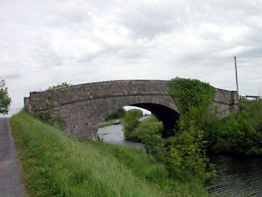 Skew Bridgebridge · 391 yd
 Site of ChurchChurch · 1447 yd
 Bawn in Grangeclare WestBawn · 1454 yd
 Enclosure in NewparkEnclosure · 1.2 mi
 Kilmeague CastleRuins · 1.7 mi
 Hill of AllenMountain / peak · 2.4 mi
 Grand Canal WayVisitor information · 2.4 mi
 Killina BogWood · 3.1 mi
 Lullymore Heritage ParkHeritage attraction · 3.3 mi
 Foran's WoodForest · 3.3 mi
 Bithia Mary CrokerMemorial · 5.9 mi