
What is recorded here
In the S sector of an ecclesiastical enclosure (TS074-010----) known as St. Berrihert's Kyle and incorporated in an oval stone enclosure, stepped internally, built by the OPW in 1946 (Ó hÉailidhe 1967, 102). This slab is located in the S sector, on top of the wall. It is described by Ó hÉailidhe (1967, 108) as slab 1,…
Read the whole record
From the National Monuments Service (Archaeological Survey of Ireland) record TS074-010007
Places near here
Photo credits
- Deemaykay, Wikimedia Commons · CC BY-SA 4.0
- Maker not stated on source page, www.alamy.com
- Maker not stated on source page, www.irelandtravelkit.com
- National Inventory of Architectural Heritage
- kevin higgins, Geograph · CC BY-SA 2.0
- Colin Park, Geograph · CC BY-SA 2.0
- Knockane GAA Club website; individual photographer not stated, www.knockane.com
- Kmcnamee, Wikimedia Commons · CC BY-SA 4.0
- No machine-readable author provided. Christian1965~commonswiki assumed (based on copyright claims)., Wikimedia Commons · Public domain
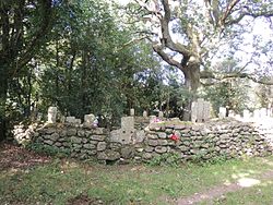 CrossCross, High cross · 1 yd
Explorer Tom Cross in Ardane is secretly proud of the potato growing right next to its base, which is very ironic for a holy site.…
 Stone CrossCross · 1 yd
Explorer Tom Stone Cross in Ardane is bragging about surviving storms that would have flattened a normal person, but honestly, it’s…
 Saint Berrihert's Holy WellWayside shrine · 201 yd
Explorer Tom Saint Berrihert's Holy Well in County Tipperary has had so many name changes that even the locals have given up keeping…
 Ashgrove BridgeBridge · 839 yd
Explorer Tom Ashgrove Bridge in Ardane has such a humpback it could be a retired sumo wrestler taking a nap. Those fancy cut stone…
 Ardane National SchoolSchool · 1035 yd
Explorer Tom Ardane National School has separate entrances for boys and girls, which feels like a time capsule from the nineteenth…
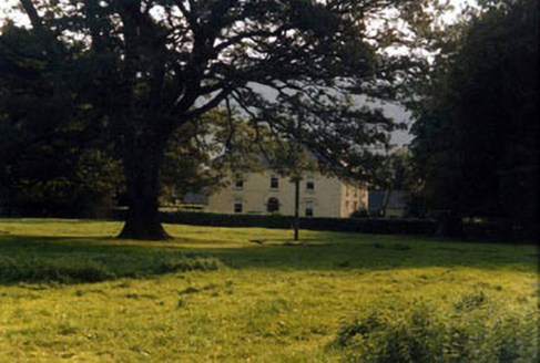 Ashgrove HouseHouse · 1212 yd
Explorer Tom Ashgrove House inspired a really bad poem once that rhymed 'house' with 'mouse'. The owners have never quite forgiven…
 FarbreagaMountain / peak · 2.5 mi
Explorer Tom Farbreaga sits on the eastern Galtee ridge in County Tipperary, a 724 metre summit that asks you to earn the view…
 GreenaneMountain / peak · 3.3 mi
Explorer Tom Greenane sounds like a hill that has never met a rainy day, which is a bold sales pitch for the Galtees. This 802 metre…
 Lough CurraWalking route · 5.0 mi
Explorer Tom Lough Curra in County Tipperary has very strong opinions on modern buildings, claiming they block its view of the…
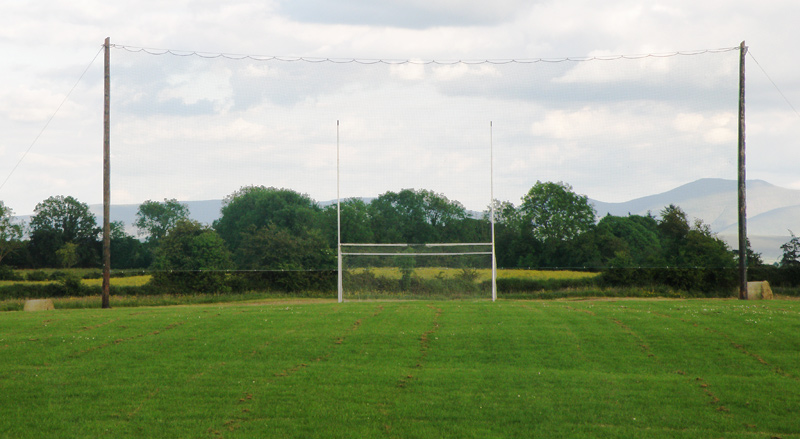 Knockainey GAA pitchGAA ground · 18 mi
 Bruff GAA pitchGAA ground · 20 mi
 Áine and Gearóid Iarla: Lough GurLegend location · 20 mi
Explorer Tom Áine and Gearóid Iarla: Lough Gur has a goddess for the lake and a sleeping lord in the old stories. I thought I was…
More archaeology and monuments in County Tipperary · All of County Tipperary

What do you know about this place?Tap to add a comment or ask a question