What is recorded here
Scotland's National Record of the Historic Environment records Innercochill (3) as Cup Marked Rock (neolithic) - (bronze Age). The official map says its point is accurate as follows: NGR given to the nearest 1m. The record does not by itself mean that the public may enter the place.
Likely dating to the Neolithic or Bronze Age, Innercochill (3) is a cup marked rock, a type of prehistoric rock art often associated with ritual or ceremonial activity. The meaning or specific use of such markings remains unclear, though they may have had symbolic, social, or astronomical significance.
The historic-place record does not grant public access. Check current conditions and ownership before entering land or a building.
Places near here
 Cochill BurnHut (post Medieval) · 634 yd
 Newton of BallinreighTownship (post Medieval) · 884 yd
 Glen CochillCultivation Remains (period Unassigned) · 1141 yd
 BallinreighKiln (post Medieval)(possible) · 1284 yd
 Craig HulichMountain / peak · 1.1 mi
 Beinn LiathMountain / peak · 1.4 mi
 Griffin Wind FarmNo Class (event) (period Unassigned) · 3.0 mi
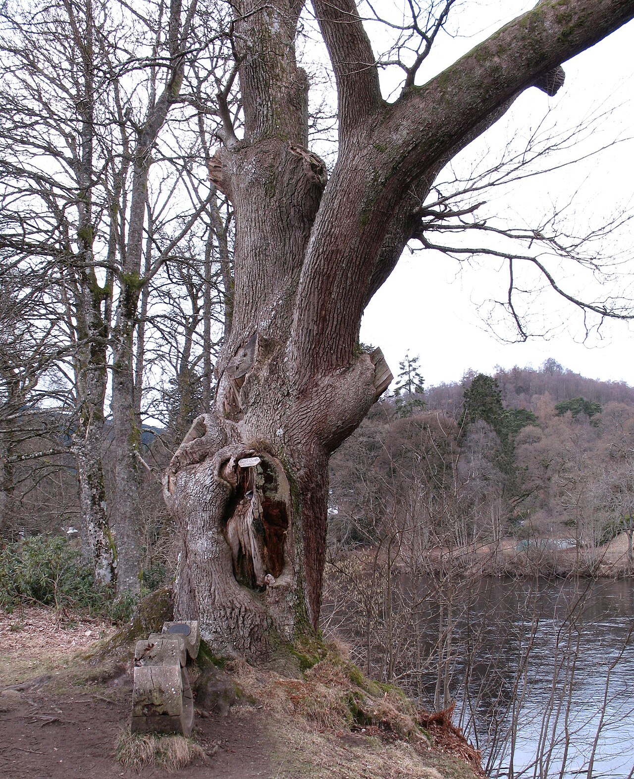 Niel Gow's OakOak · 6.7 mi
 Polney CragCliff · 6.7 mi
 The Parent LarchEuropean Larch · 7.3 mi
 Battle of DunkeldMajor battlefield · 7.4 mi
 Lady Charlotte's CaveCave · 7.4 mi