
What is recorded here
Scotland's National Record of the Historic Environment records Newton of Ballinreigh as Township (post Medieval). The official map says its point is accurate as follows: NGR given to the nearest 100m. The record does not by itself mean that the public may enter the place.
The historic-place record does not grant public access. Check current conditions and ownership before entering land or a building.
Places near here
 BallinreighKiln (post Medieval)(possible) · 656 yd
 Amulree, River Braan, BridgeRoad Bridge (18th Century) · 1368 yd
 Craig HulichMountain / peak · 1394 yd
 Cochill BurnHut (post Medieval) · 1514 yd
.jpg?width=1280) Amulree Church of Scotland and ChurchyardBurial Ground (18th Century), Church (18th Century) (1752), Churchyard (18th Century) · 1656 yd
Amulree Church of Scotland and ChurchyardBurial Ground (18th Century), Church (18th Century) (1752), Churchyard (18th Century) · 1656 yd Beinn LiathMountain / peak · 1.6 mi
 Griffin Wind FarmNo Class (event) (period Unassigned) · 3.5 mi
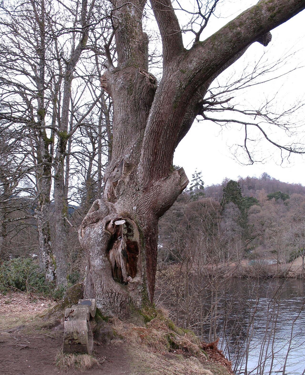 Niel Gow's OakOak · 7.1 mi
 Polney CragCliff · 7.2 mi
 The Parent LarchEuropean Larch · 7.7 mi
 Battle of DunkeldMajor battlefield · 7.8 mi
 Lady Charlotte's CaveCave · 7.8 mi
Other information
Photo: Alan O'Dowd · CC BY-SA 2.0