
What is recorded here
Beinn Liath reaches an elevation of approximately 600 metres and is part of the Sidlaw Hills range, composed mainly of Silurian greywacke and mudstone. It contributes to the regional landscape character of Perth and Kinross but lacks specific folklore or prominent historical records.
This does not grant access. Check current paths, opening conditions and ownership before entering.
Places near here
 Glen CochillCairnfield (prehistoric), Cup Marked Rock (prehistoric), Field Boundary(s) (period Unknown), Hut Circle (prehistoric), Shieling Hut(s) (post Medieval) · 1272 yd
 St LouisFarmstead (period Unassigned) · 1725 yd
 White Cairn, Glen CochillCairn (early Prehistoric), Beaker (early Prehistoric) · 1.0 mi
 Meall DeargMountain / peak · 1.1 mi
 Craig HulichMountain / peak · 1.3 mi
 Newton of BallinreighTownship (post Medieval) · 1.6 mi
 Griffin Wind FarmNo Class (event) (period Unassigned) · 2.8 mi
 Loch ScolyViewpoint · 5.0 mi
 Birks of AberfeldyWood · 5.7 mi
 Polney CragCliff · 7.4 mi
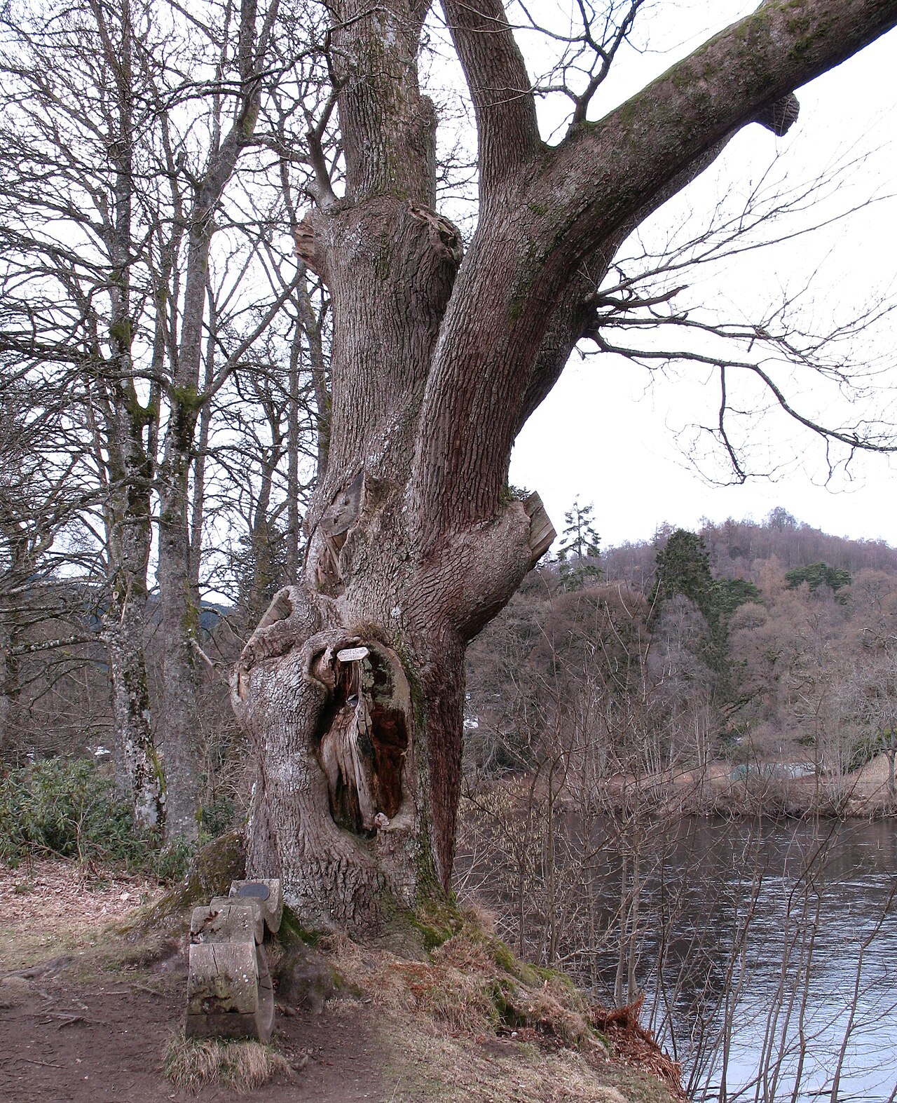 Niel Gow's OakOak · 7.4 mi
 Lady Charlotte's CaveCave · 8.0 mi
Other information
Photo: Lis Burke · CC BY-SA 2.0