
What is recorded here
Inishtrahull is the most northerly island of Ireland, a small granite scar thrown ahead of Donegal like a sentinel placed where the Atlantic stops pretending to be a road. People lived there until 1929, keepers fed the light until 1987, and now the beach belongs to geese, seals and the wind. Its rock is so old it predates most life on Earth, which makes the island feel less like a place and more like a warning: even human urgency is young.
Inishtrahull is recorded as a island in County Donegal. Its open map record supplies this location and any linked names or public references.
Inishtrahull is a small, uninhabited island located off the northern coast of County Donegal, Ireland. It is notable for its historical use as a site for military and coastal defense structures, including a Martello tower and later a radar station during the 20th century.
Places near here
 Mass-rock in InishtrahullMass-rock · 352 yd
 Inishtrahull SchoolRuins · 358 yd
 Inishtrahull Lighthouse (old)lighthouse, lighthouse keeper's house · 409 yd
 Doherty's Dun / Ballygorman Coastal FortPromontory fort, coastal · 5.0 mi
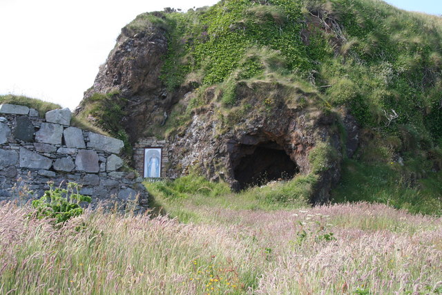 Wee House of Malin CaveCave · 5.5 mi
 Pebble StrandBeach / strand · 6.2 mi
 EIRE 80 signSecond World War neutrality sign · 6.4 mi
 Wild Atlantic Way:Malin HeadVisitor information · 6.5 mi
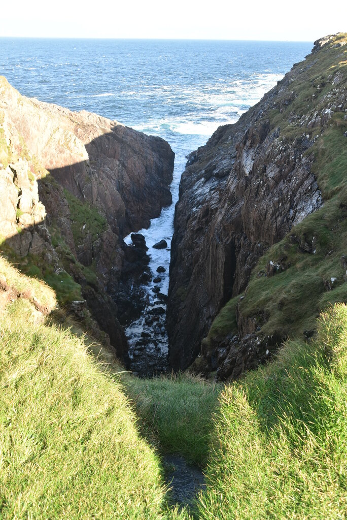 Hell's Hole Cavern, Malin HeadSea cavern and cliff chasm · 7.1 mi
 SkildrenbegIslet · 7.3 mi
 Devil's Bridge, Malin HeadNatural rock arch · 7.4 mi
 SkildrenmoreIslet · 7.4 mi
Other information
Photo: Andreas F. Borchert · CC BY-SA 4.0