What is recorded here
Inishannon was a walled town and ferry point on the Bandon River, holding a market and fair grant in 1256 within the de Barry lands. Smith described it in 1750 as a place of some note, pointing to castle and building foundations buried beneath the woodland valley. The medieval parish church site now holds ruins of a mid-18th-century church, while eighteenth-century houses still front Main Street. The town wall has vanished, but the river bend, market memory and buried stone work keep Inishannon alive as a lost Cork port rather than a forgotten name.
In a wooded valley on the N bank of the Bandon River, at the head of the estuary leading into Kinsale Harbour. Smith (1750, vol. 1, 211-13) refers to Inishannon as 'formerly walled and a place of some note, as appears by the foundations of several castles and large buildings discovered in it.' Thomas (1992, vol. 2, 243) noted that Inishannon, which was part of the de Barry lands, was from medieval times a ferry point on the Bandon River and received a market and fair grant in 1256. Eighteenth-century houses (vol. 2, 5931-2) front onto Main Street. There are now no recognisable upstanding remains of a town wall here. The site of the medieval parish church of Inishannon at the E end of the town, is occupied by the ruins of a mid-18th-century church (vol. 2, 5901).
The above description is derived from 'The Archaeological Inventory of County Cork. Volume 5' (Dublin: Stationery Office, 2009).
Date of upload: 22 December 2009
The monument record does not grant public access. Check the route and ask the landowner before entering private land.
- What survives
- Recorded monument
Places near here
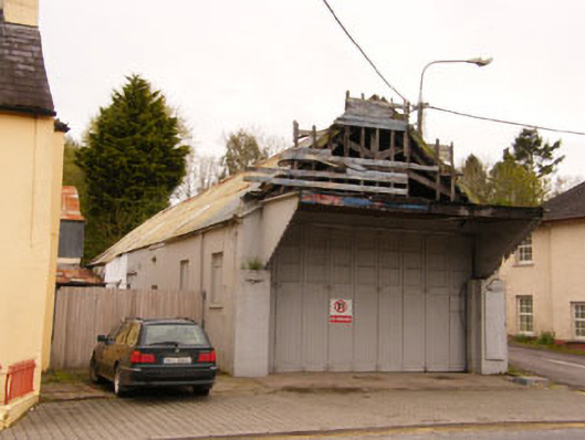 garagegarage · 129 yd
 Saint Mary's Catholic Churchchurch/chapel · 154 yd
 Dromkeen WoodWood · 617 yd
 Innishannon WoodsPicnic place · 649 yd
 Dromkeen Wood Nature ReserveForest · 668 yd
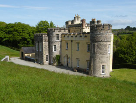 IndicatedEnclosure · 982 yd
 Kilpadder Burial Gd (Site of)Burial ground · 1391 yd
 Downdaniel Castle (in Ruins)Castle, tower house · 1653 yd
 Shippool CastleCastle · 2.0 mi
 Marie LouiseWreck · 2.3 mi
 Carbury's WellSpring · 3.1 mi
 Bandon War MemorialMemorial · 3.3 mi