
What is recorded here
Triple-arch bridge carrying road over the Termon River, built c. 1780, having V-profile stone cutwaters to central piers. Rounded cutwater to the west elevation. Round-headed arches having roughly dressed voussoirs; squared rubble stone construction to arch barrels. Coursed rubble stone construction to spandrels, abutments and to parapets. Rubble stone soldier coping to parapet to the south-east, mildly rock-faced coping to parapet to north-west. Tarmacadam deck with vegetation to verges. Located to the north-east of Pettigoe and spans the border between counties Donegal and Fermanagh.
On the border with county Fermanagh this bridge has performed a key role in the transport network of south Donegal. The variety of repair work to the parapet illustrates the lengthy and valued role this bridge plays in the community. The survival of this bridge for over two centuries is proof of the 18th century engineering skill responsible for its construction.
From the Buildings of Ireland (National Inventory of Architectural Heritage) record 40910206
This does not grant access. Most recorded buildings are privately owned; view them only from public ground unless the owner allows entry.
Places near here
Photo credits
- National Inventory of Architectural Heritage
- Derek Henry, Geograph · CC BY-SA 2.0
- Kenneth Allen, Geograph · CC BY-SA 2.0
- Mcg sean, Wikimedia Commons · CC BY-SA 3.0
- Andreas F. Borchert, Wikimedia Commons · CC BY-SA 3.0 de
- Andreas F. Borchert, Wikimedia Commons · CC BY-SA 4.0
- Kenneth Allen, Wikimedia Commons · CC BY-SA 2.0
- Jon Sullivan, Wikimedia Commons · Public domain
- Photo courtesy PDPhoto.org, Wikimedia Commons · Public domain
- William Frederick Wakeman (1822-1900), Wikimedia Commons · Public domain
 Lurganboy BridgeBridge · 1128 yd
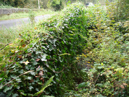 bridge1.4 mi
 Drummoney WaterfallWaterfall · 2.6 mi
 Patrick the PilgrimMemorial · 3.4 mi
 Castle McGrathCastle · 3.4 mi
 Castle McGrathCastle, tower house · 3.4 mi
 Station IslandIsland · 3.8 mi
 St Patrick's CrossCross · 3.8 mi
 Montiaghroe Standing StonesPublicly named standing stone · 3.8 mi
 Boa IslandIsland · 4.3 mi
 Drumskinny Stone CircleHeritage attraction · 4.4 mi
 Saints IslandIsland · 4.5 mi
More historic places in County Donegal · All of County Donegal
What do you know about this place?