
What is recorded here
Inis Gé Thuaidh is an island in County Mayo where a hidden medieval house waited beneath sand until excavated in 1939. Its drystone walls rose from a dug pit, with a north-east door, a soot-blackened flue, and a corner set apart for sleep. The remains include a knife, spindle whorl, quern, horn and scattered bones, suggesting a small community that fished, farmed and crafted beside the Atlantic. Two more conjoined houses nearby complete a modest cluster now preserved as a National Monument.
Inis Gé Thuaidh is recorded as a island in County Mayo. Its open map record supplies this location and any linked names or public references.
Inis Gé Thuaidh is a small island located off the coast of County Mayo, Ireland. It is notable for its traditional Irish name and its inclusion in historical and geographical records of the region.
Places near here
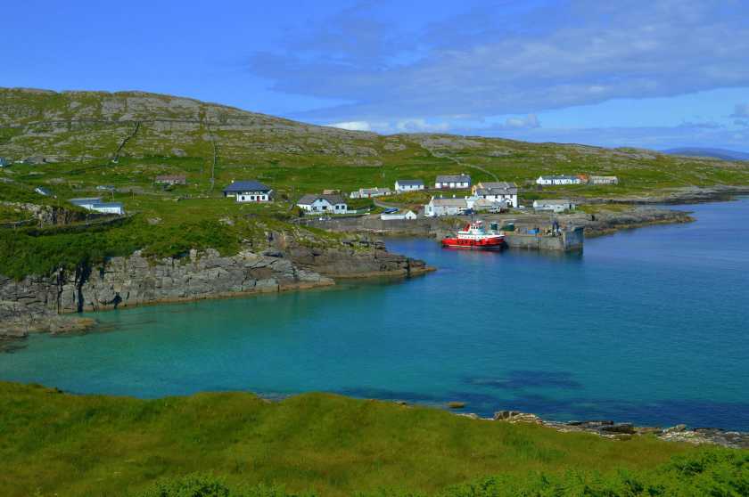 Enclosure in Inis Gé ThuaidhEnclosure · 524 yd
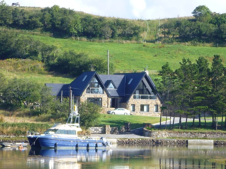 Cross in Inis Gé ThuaidhCross · 538 yd
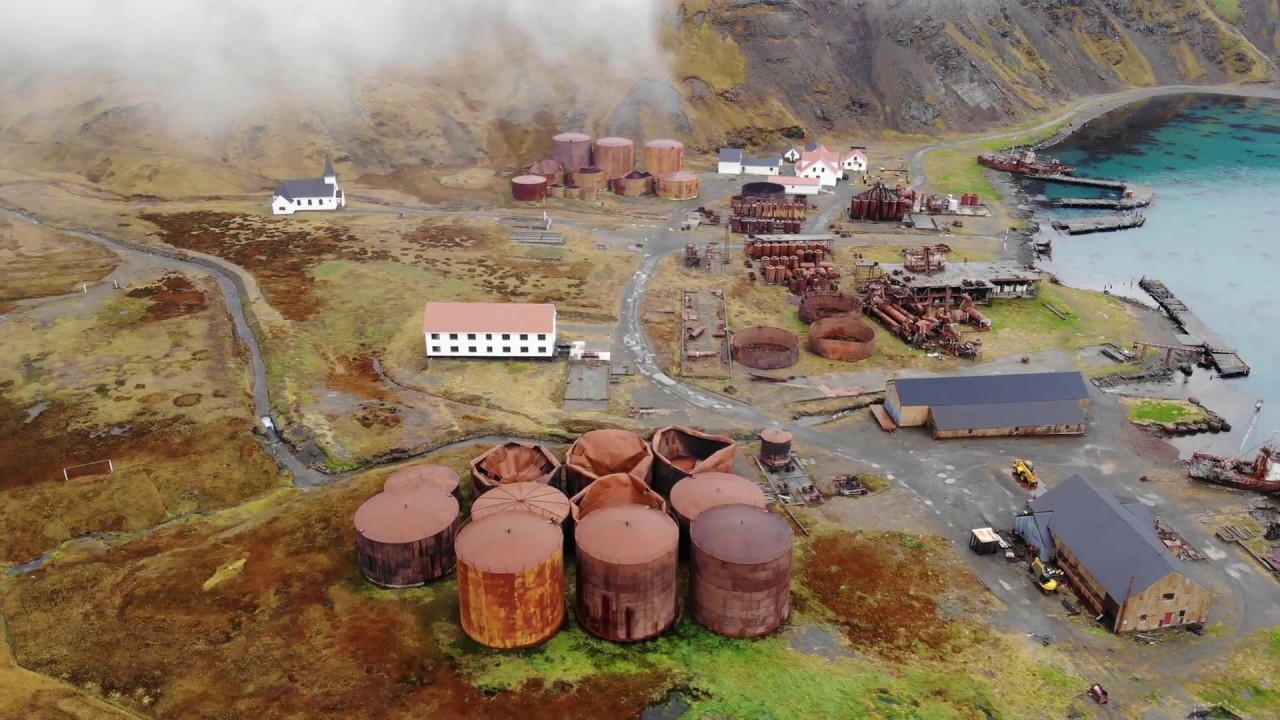 Rusheen Island Whaling StationRuins · 1.0 mi
 RoisínIslet · 1.0 mi
 Church (in Ruins)Church · 1.2 mi
 Carraig an MhoiltIslet · 1.4 mi
 Site of Redmond Barretts CastleCastle, unclassified · 3.5 mi
 Termon BeachBeach / strand · 4.4 mi
 Trá OilíBeach / strand · 4.8 mi
 Barranagh Castle in RuinsCastle, unclassified · 5.9 mi
 Cuan an Fhóid DuibhBay · 8.1 mi
 Saddle HeadHeadland · 8.3 mi
Other information
Photo: Credit not shown in the picture search · Rights wording not checked; contact us if this picture should be removed